With a late start it was either trying to play catch-up...or just take our time and check out a few roads that'd been sitting there and begging for year.
There are 3 roads that run south from the Mansfield-Mt. Buller Rd., and either/ all make a nice continuation of the Old Tolmie Rd. towards Jamieson....if you're happy with gravel roads, that is.
According to some maps they're all linked up at the south, one leading into the other and exiting onto the Mansfield-Jamieson Rd.
On other maps then don't even exist or there's no connecting bits in the south.
Time to find out.
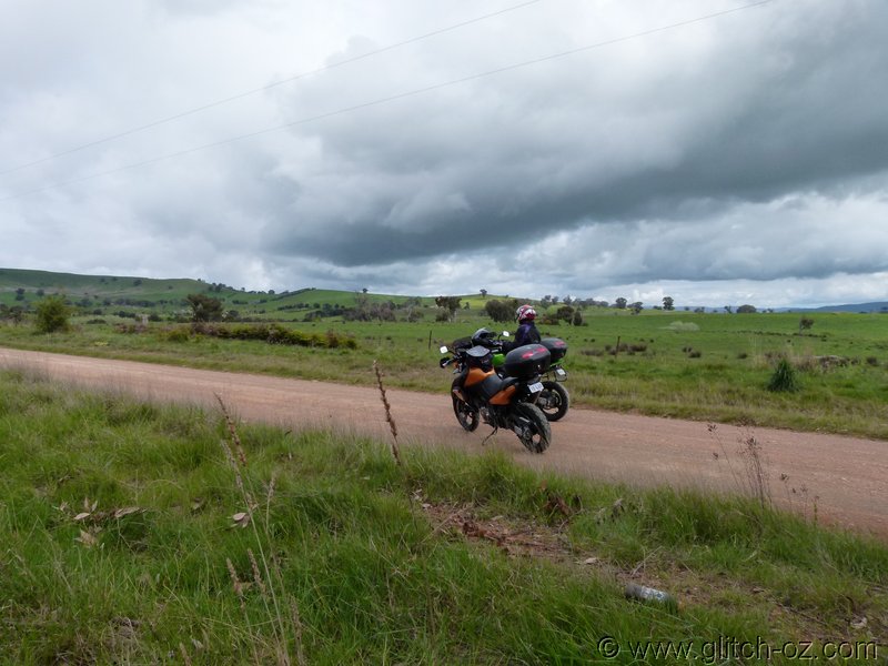
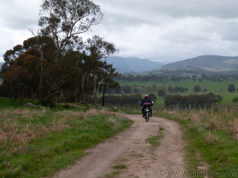
The most eastern one, Powers Rd. is a beaut, little road... narrowing into a bare-earth track, dipping across a few shallow hill-tops
Around point B on above map it crests a small knoll, then drops steeply in a couple of hairpins across a rock-seam towards a gate on Chapel Hill Rd., the next road that runs parallel. Things looked fairly rough and the ground glistened a deep/ wet dark-brown with loads of churned up loose/ muddy stuff on top, obviously the local livestock did have a party here pretty recently.
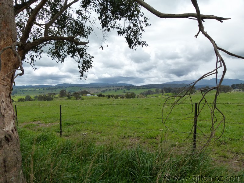
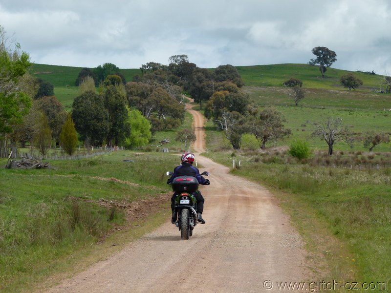
Back we go....the views are brilliant across the paddocks towards Mt. Sterling.
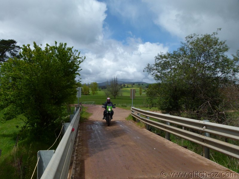
Back to the main Rd. , then south on Chapel Hill...which is fine to about the gate we saw from our return-point.
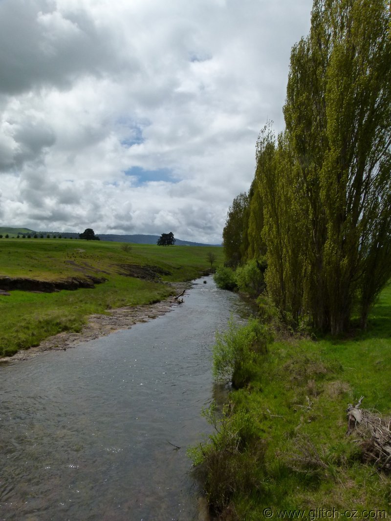
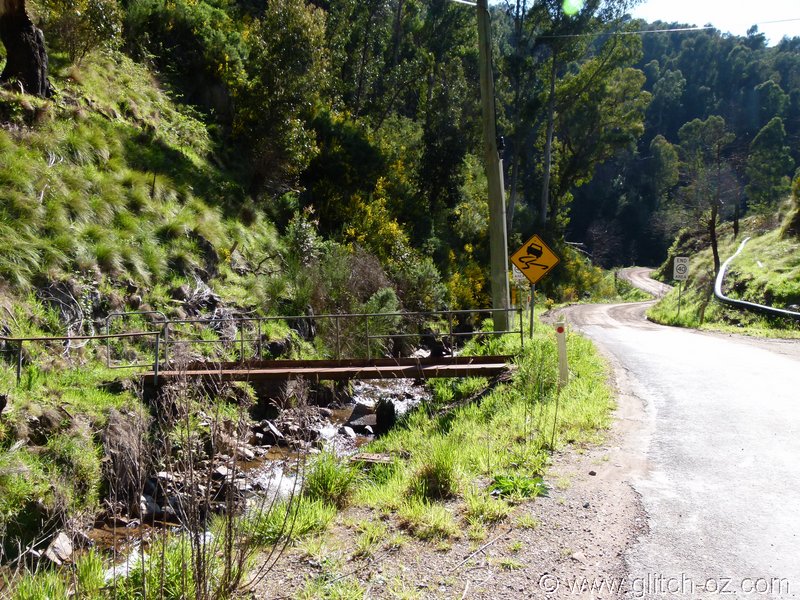
Crossing the Delatite River
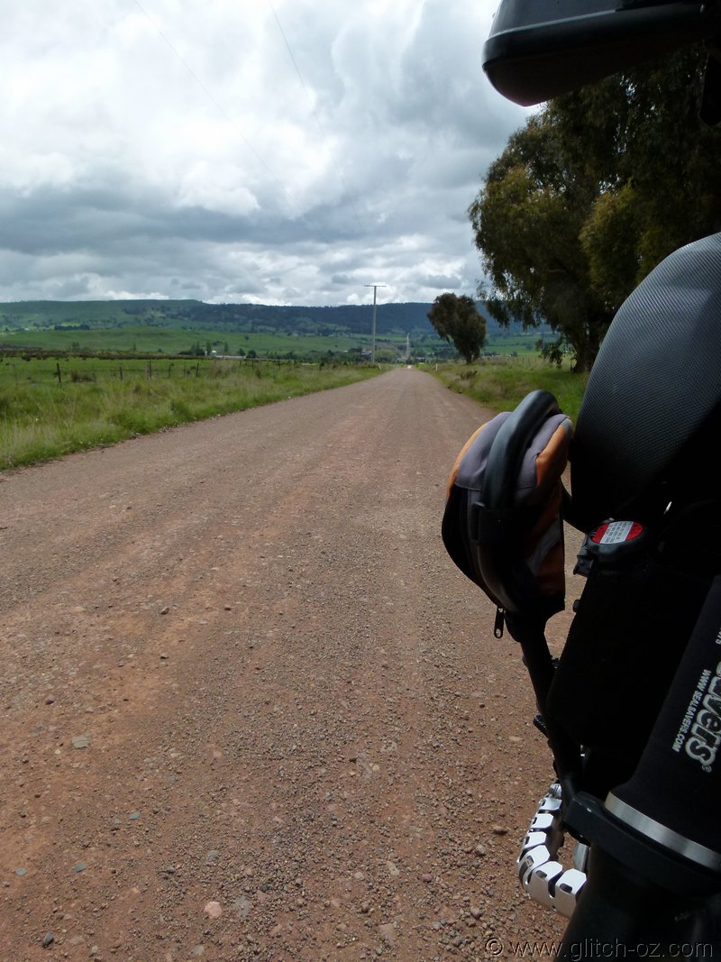
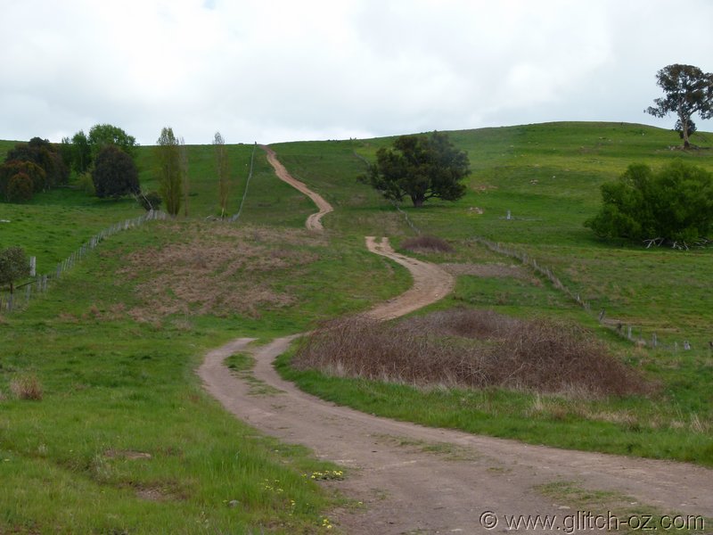
Once more it turns into a bare earth farm track, getting softer as we go on.
Point E becomes the "high point" of the road, after the sharp kink the same livestock-party must've really hit the straps, the ground is churned well over ankle-deep, no way through this slush.
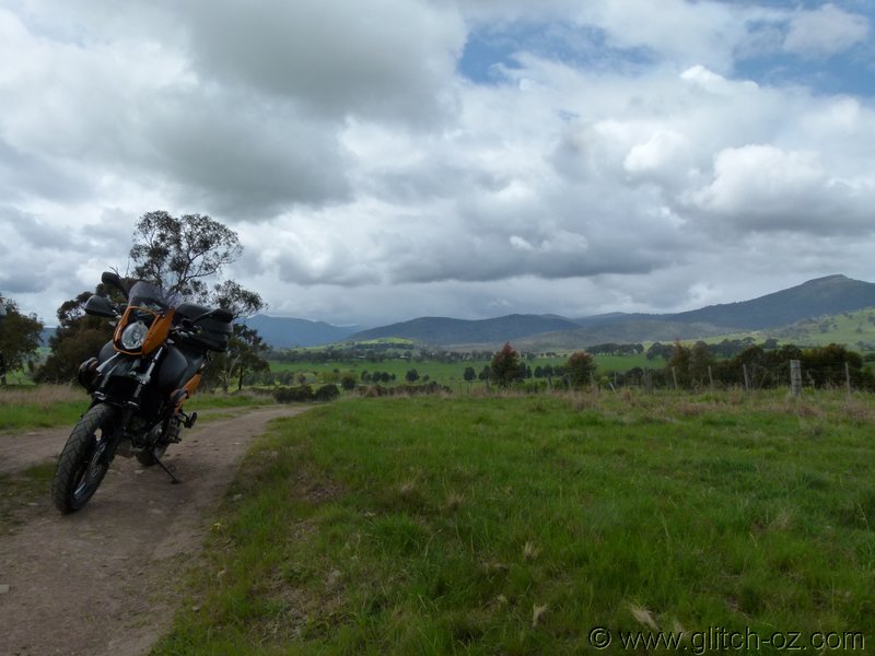
When dry, it should be fine... and again the views are magnificent.

Of course, it'd be even better on a clear day with blue skies.

Back to the main rd. once more and another cut south on Hearns Rd., which is sealed for the first few k's, before turning to good gravel near the Delatite River bridge.
I quickly duck into Chapel Hill Rd. from this end, but the 10-12 ft wide and quick-flowing, muddy-brown creek-crossing puts a stop to things, again there are lots of churned up hoof-marks on both sides, no idea how deep and soft that crossing might be.
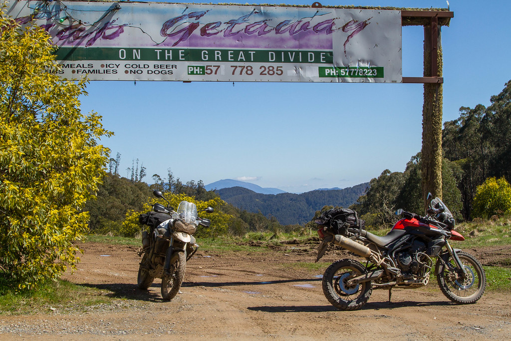
Wairere Rd. to point I turns into yet another dead end, this time man-made.
Back onto Boorolite Rd. for a few k's of tar-seal and the main Mansfield-Jamieson Rd.
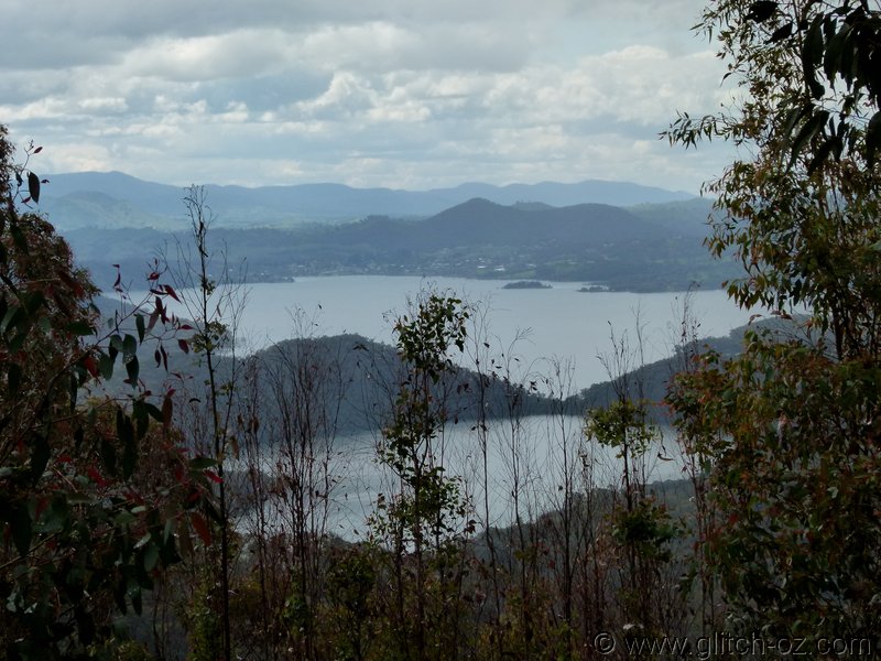
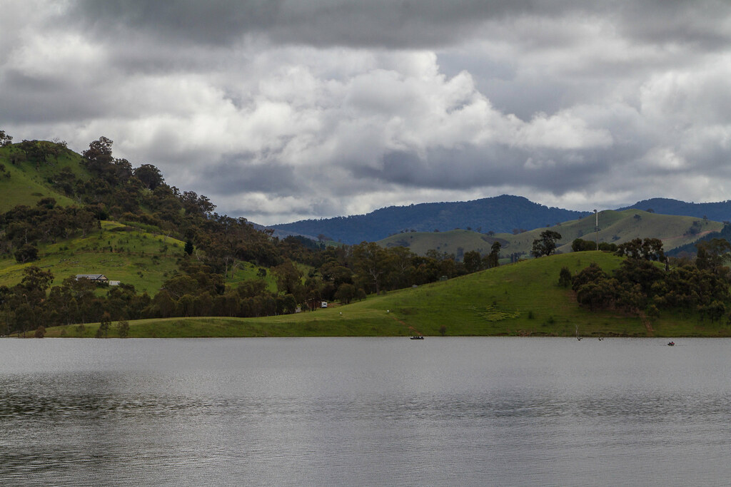
Some nice views from Jamieson-Eildon Rd. Lookout
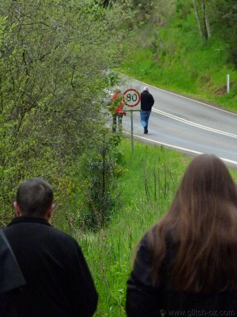
Walk??? For a whole 3km? Couldn't hold 'em back

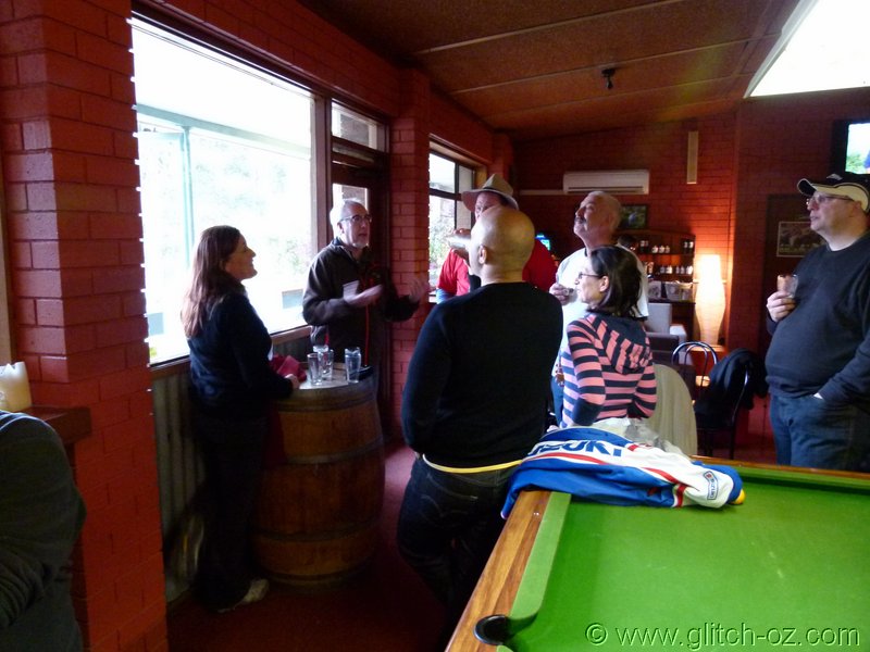
Not, when there's a brewery calling....
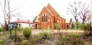
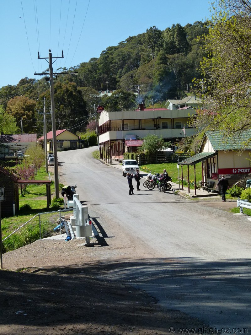
Around Jamieson Sunday morning
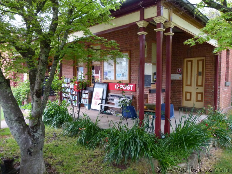
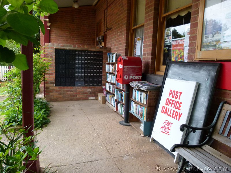
Jamieson Public Library...open all hours. As well as baskets with free lemons, apples...and some undefined, brown lumps.
")
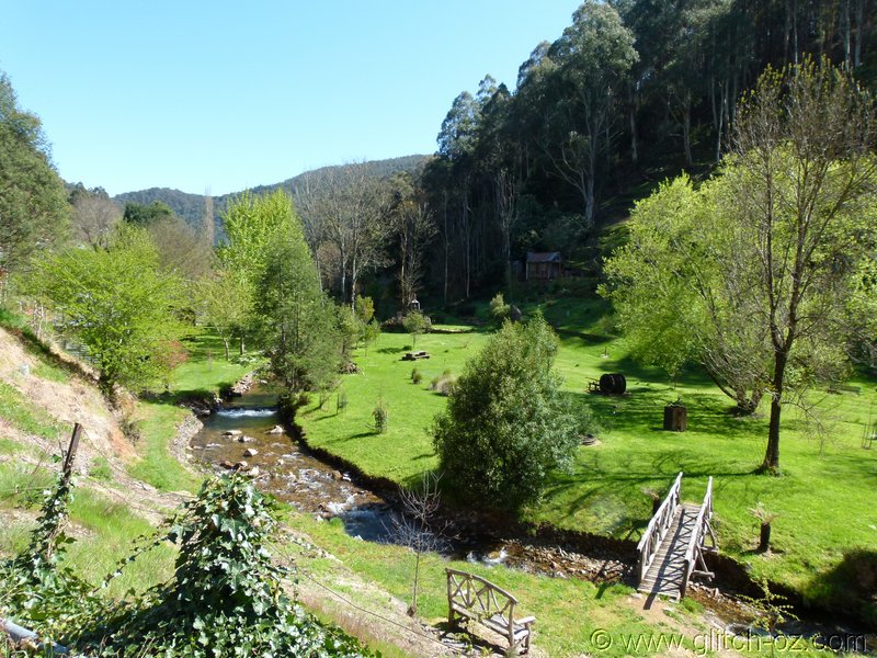
Sunday morning turns out a sparkler!!

Gaffney's Creek on the Woods Point Rd.
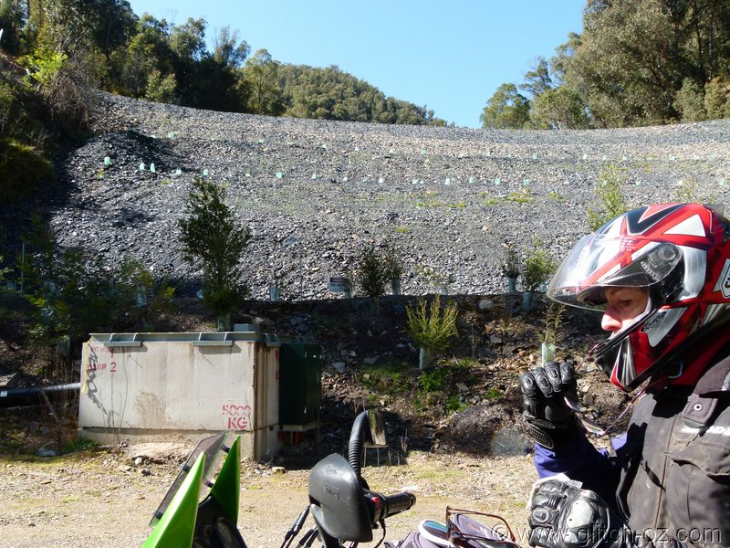
A1 Mine, the big tunnel/ mine entrance and all the generators and steel-gantries now blocked off by a wall that looks like a small dam.
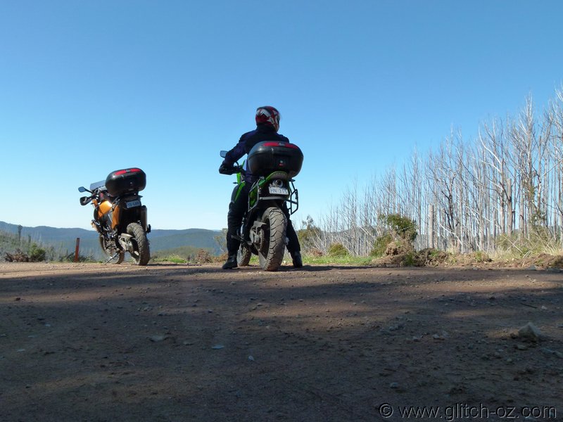
Flipping across the saddle into Woods Point.
It sure is a sparkler!!
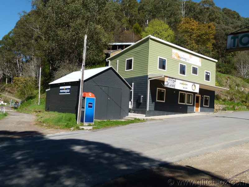
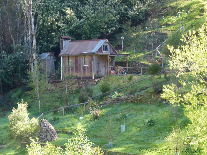
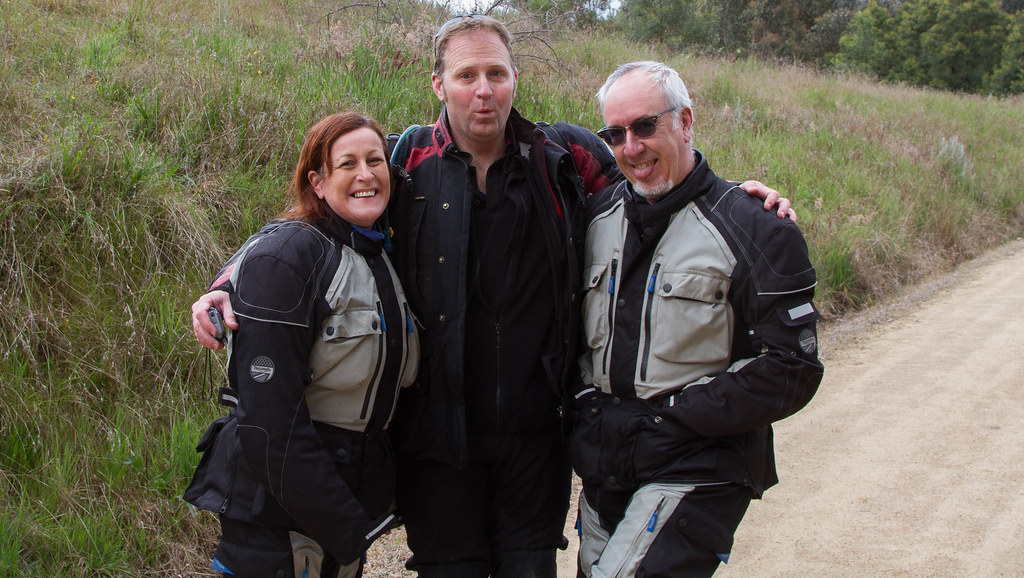
Some shots around Woods Point
Big Rod
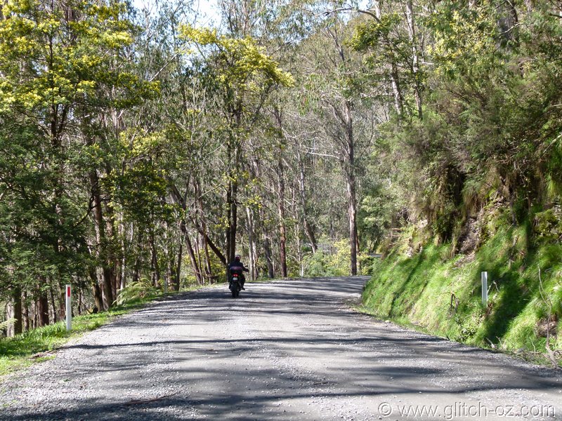
Wattles still in full bloom in the bush
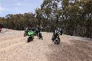
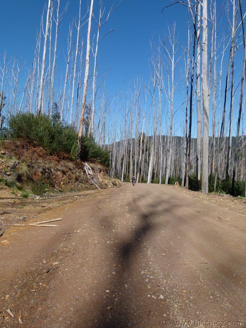
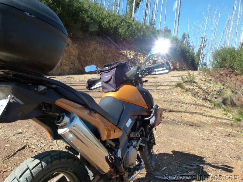
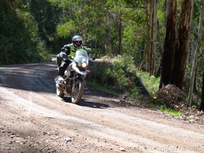
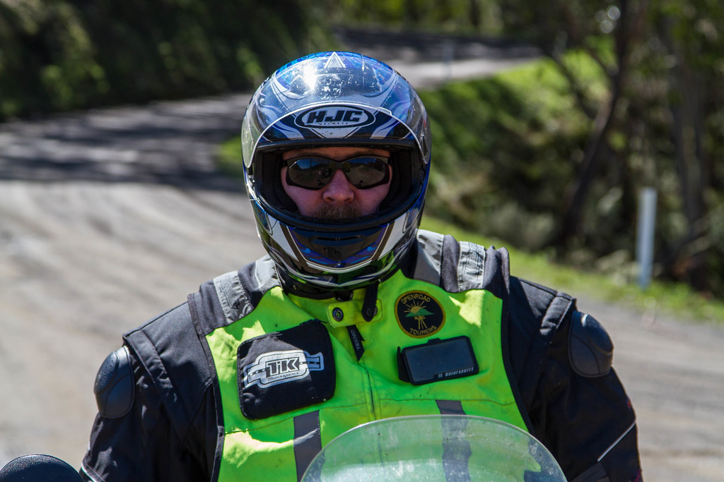
While the traffic was sparse and conditions good this time around, I always look forward to getting off the "Woods Point Hwy" and onto the side-roads.
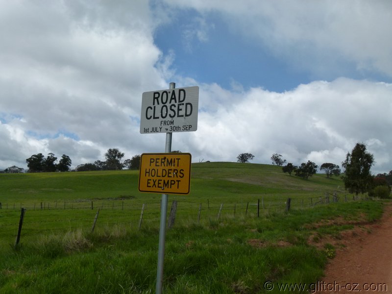
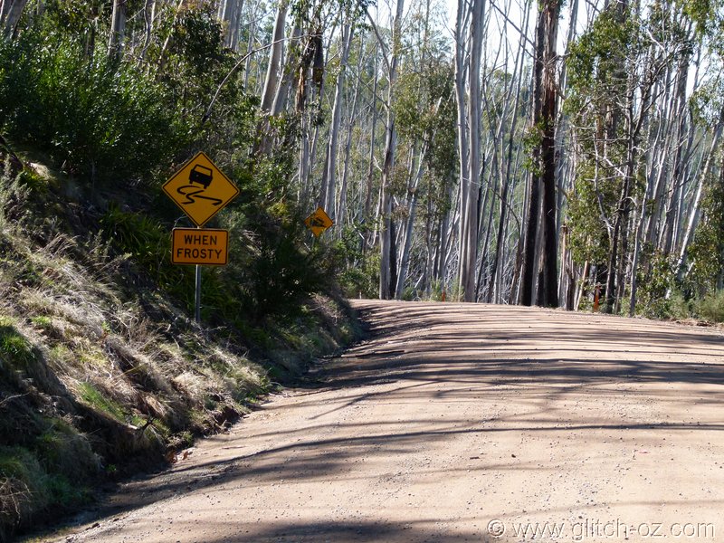
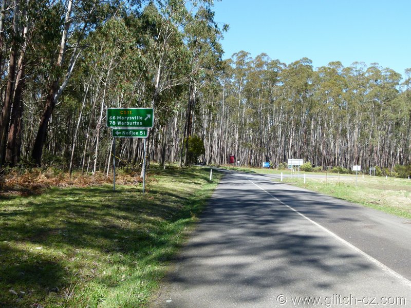
Didn't know there was a sign up for this one
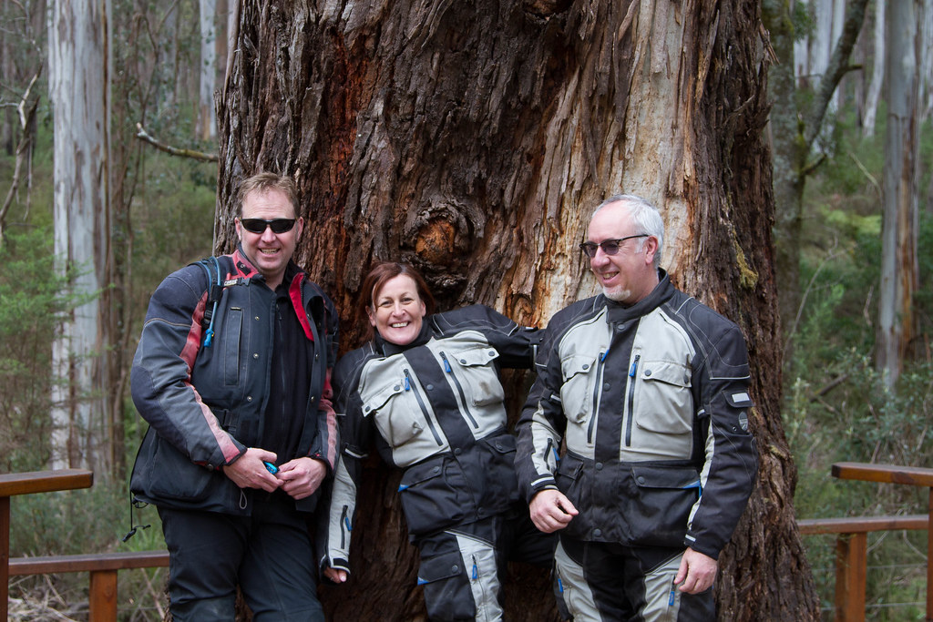
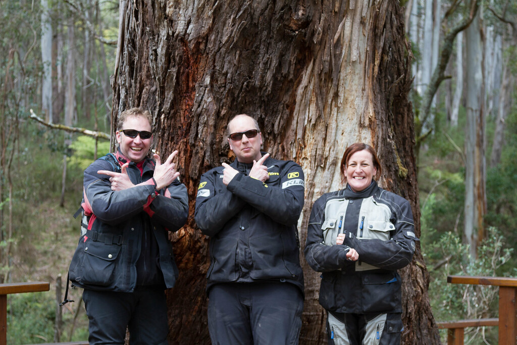
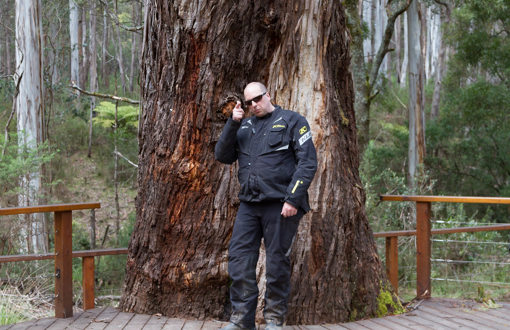
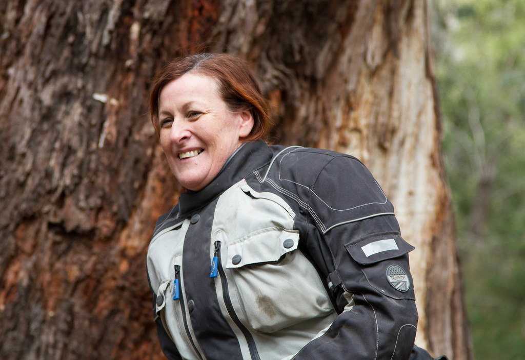
What a great weekend, a big thanks to everyone....and it was nice to see a few "new/old" faces.
Which brewery next?