|

|
|
You are using an out of date browser. It may not display this or other websites correctly.
You should upgrade or use an alternative browser.
You should upgrade or use an alternative browser.
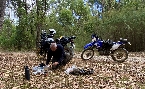
Indies DR650 Adventures (Tassie)
- Thread starter Indie
- Start date


I think it's a different bridge...
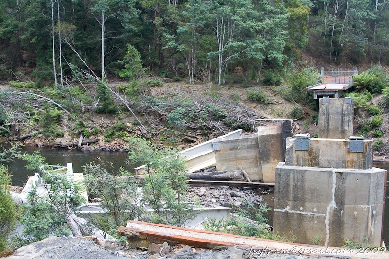
This one here's the same as Marty's....just cherck that piece of rusted, twisted metal at the remaining concrete span
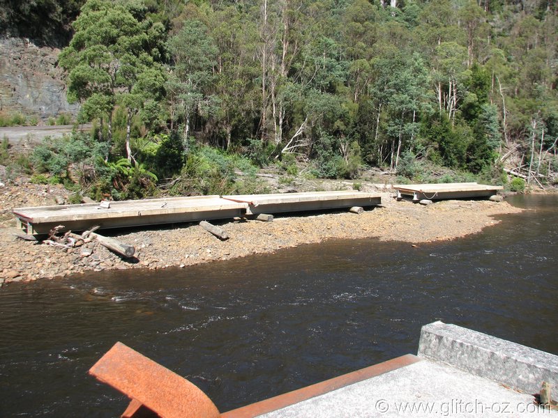
Tayatea Rd., part of the Tarkine Discovery loop....and ~30k's downstream from Indie's spot, which also accounts for the river looking quite a bit narrower in his pics.
This one here's the same as Marty's....just cherck that piece of rusted, twisted metal at the remaining concrete span
Tayatea Rd., part of the Tarkine Discovery loop....and ~30k's downstream from Indie's spot, which also accounts for the river looking quite a bit narrower in his pics.

Hytram
<-- now went that way
I think it's a different bridge...
Tayatea Rd., part of the Tarkine Discovery loop....and ~30k's downstream from Indie's spot, which also accounts for the river looking quite a bit narrower in his pics.
yup, I think you are right, the "Tarkine Discovery loop" does ring a major bell
close, but no cigar
")
nev
Super Térrarist
If anyone is interested in the GPX files let me know and i will post em up.
If you got it post a link. Someone might not want it today... but in 2 years time when someone is planning a trip they might stumble across this thread and wish that someone had wanted it... The worst that can happen is the link goes dead in the meantime.