
|

|

|
You are using an out of date browser. It may not display this or other websites correctly.
You should upgrade or use an alternative browser.
You should upgrade or use an alternative browser.
A World Of Its Own...Colorado + The Rockies
- Thread starter glitch
- Start date
 b
b
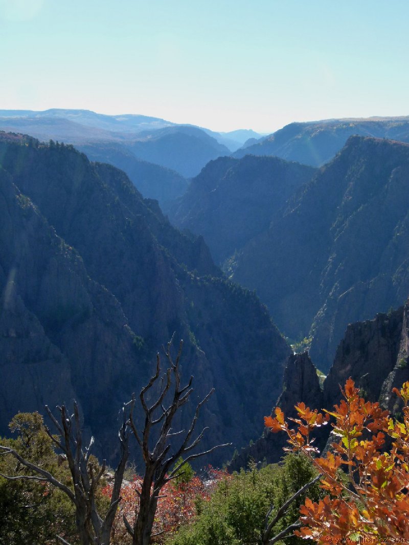


Time to leave the "Magic" and tack east, there are some miles ahead to somewhat close off our loop around the south.
There are also some other perks waiting!! :
:
https://goo.gl/maps/bDN2u9JDEm62
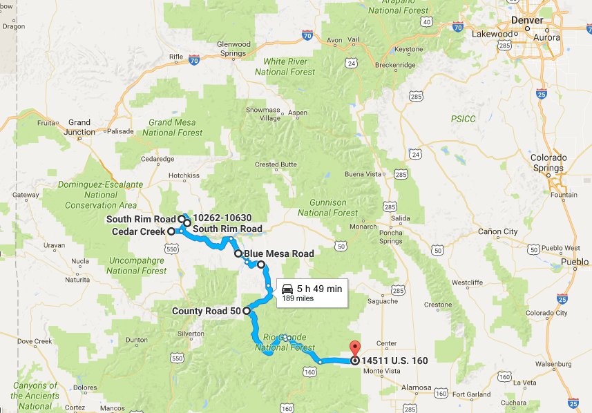
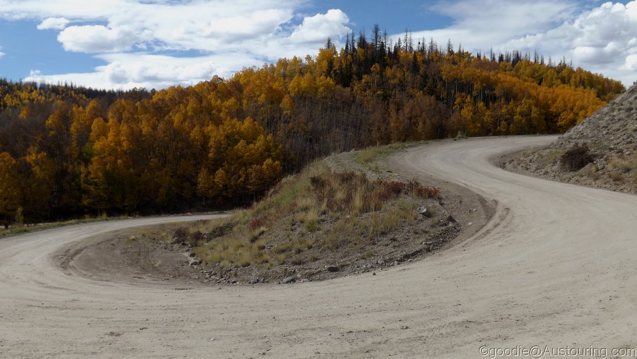
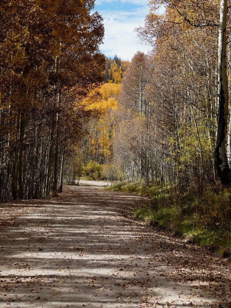
Rather than taking the highways, we picked a bunch of gravel "shortcuts" to get us to Powderhorn, the name suggesting another Aspen/ Breckenridge/ Snowmass or such.
It DID look a bit small on the map, though...

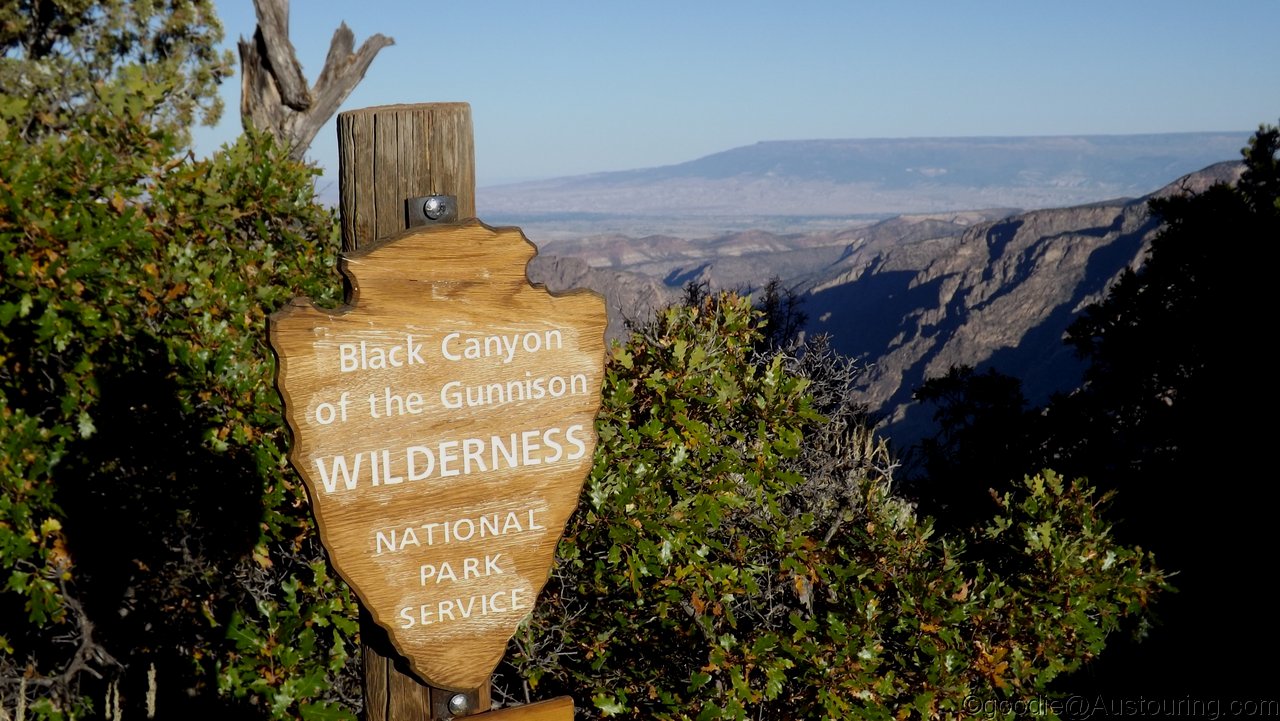
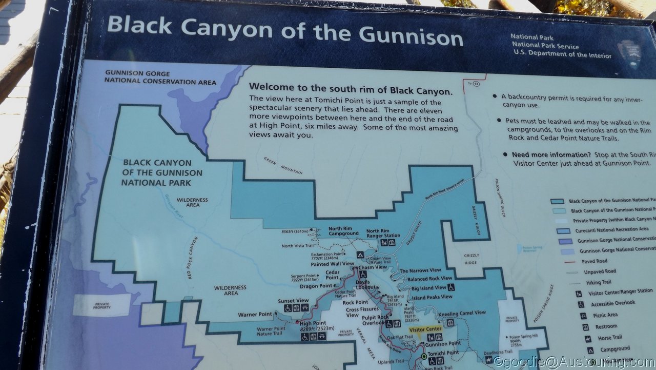
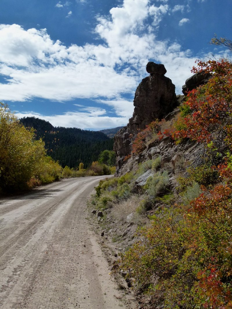
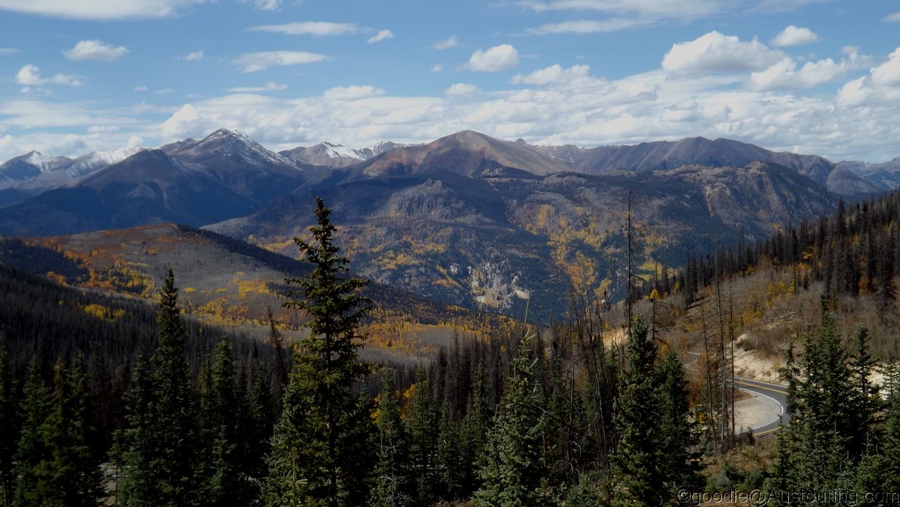
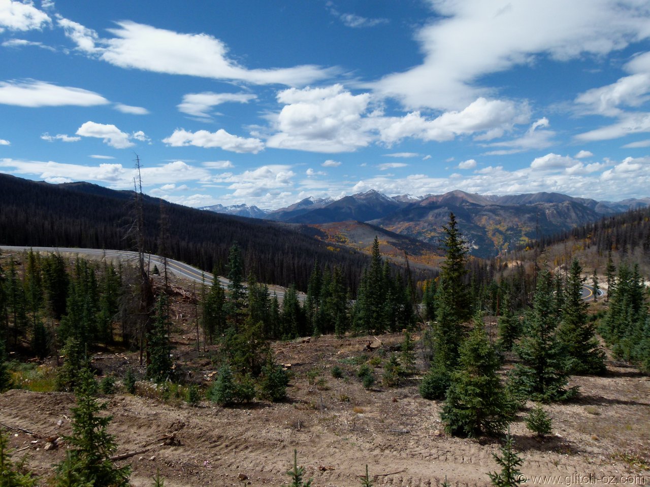
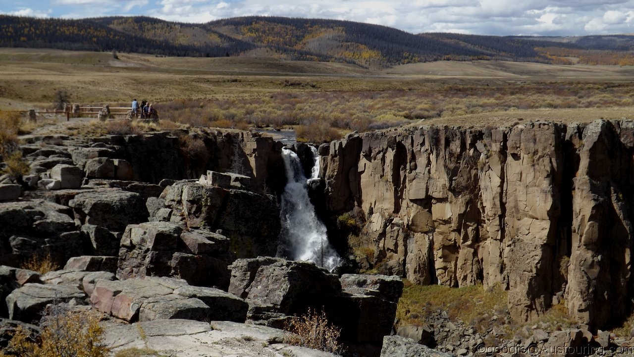
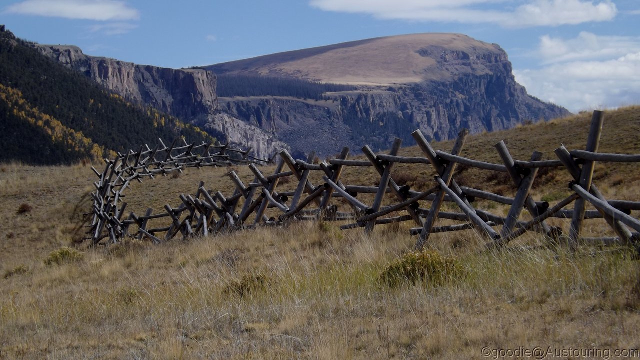
Plans from here were more gravel backroads up the Powderhorn Valley and a wide loop south-west onto the "Silver Thread Scenic Bypass" (aka Slumgullion Pass) just below its 11.500ft summit.
Why the hell there's a Post Office in Powderhorn, nobody will ever know...
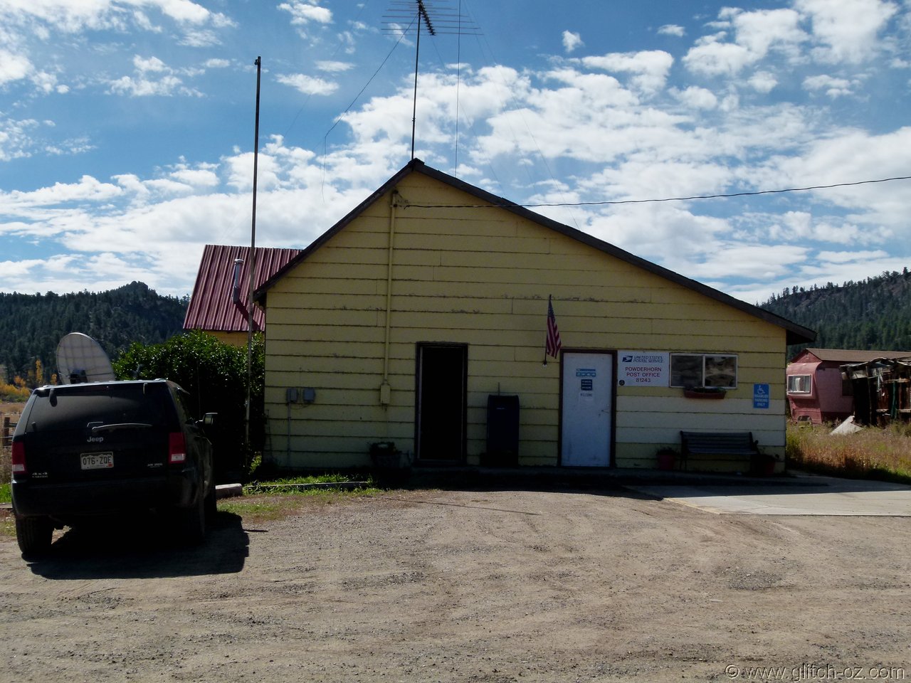
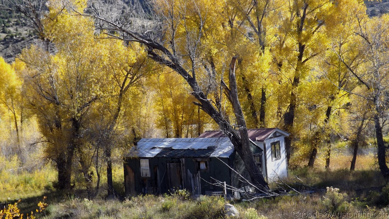
...when the rest of the 50mile neighbourhood is rather a bit on the "sleepy" side.
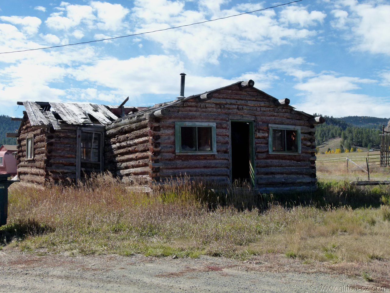
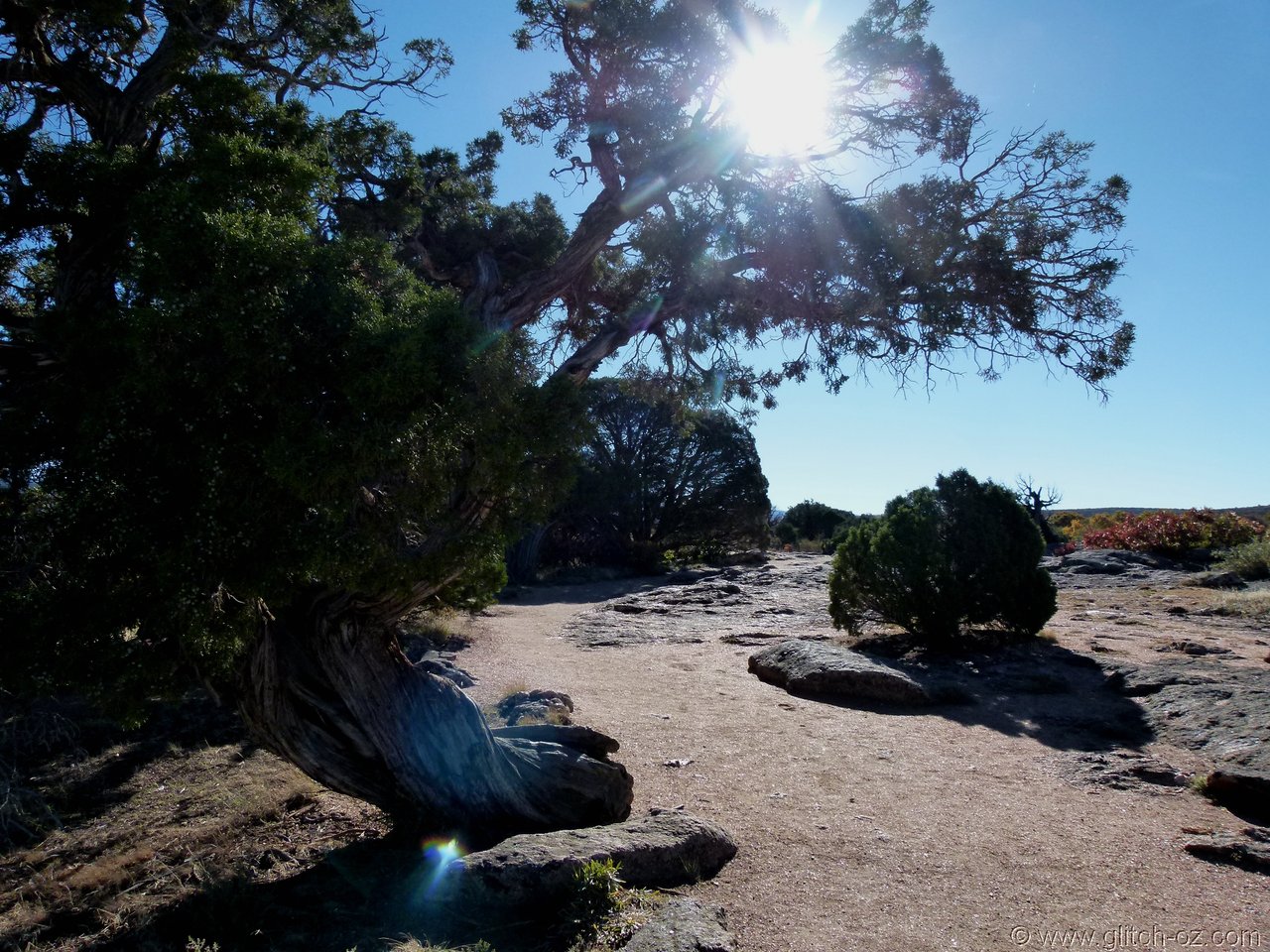
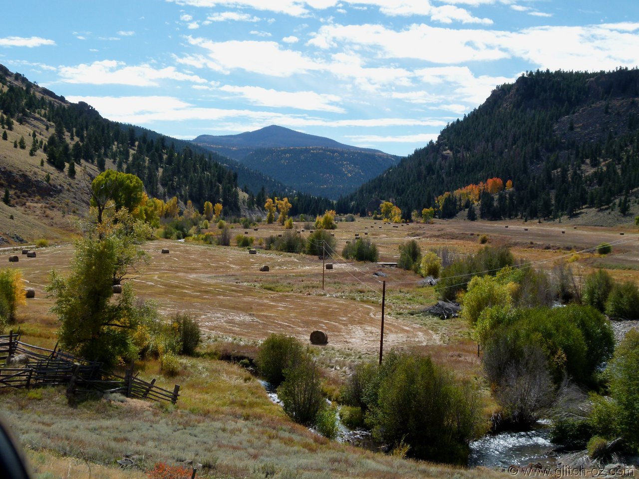
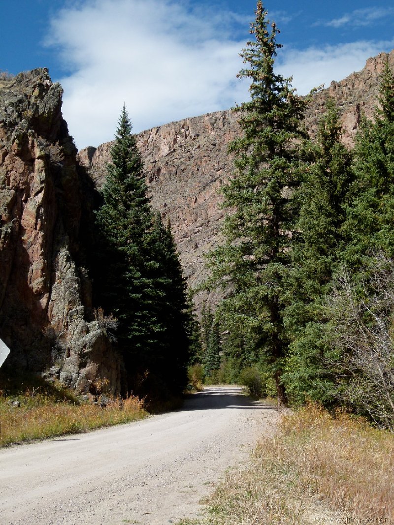
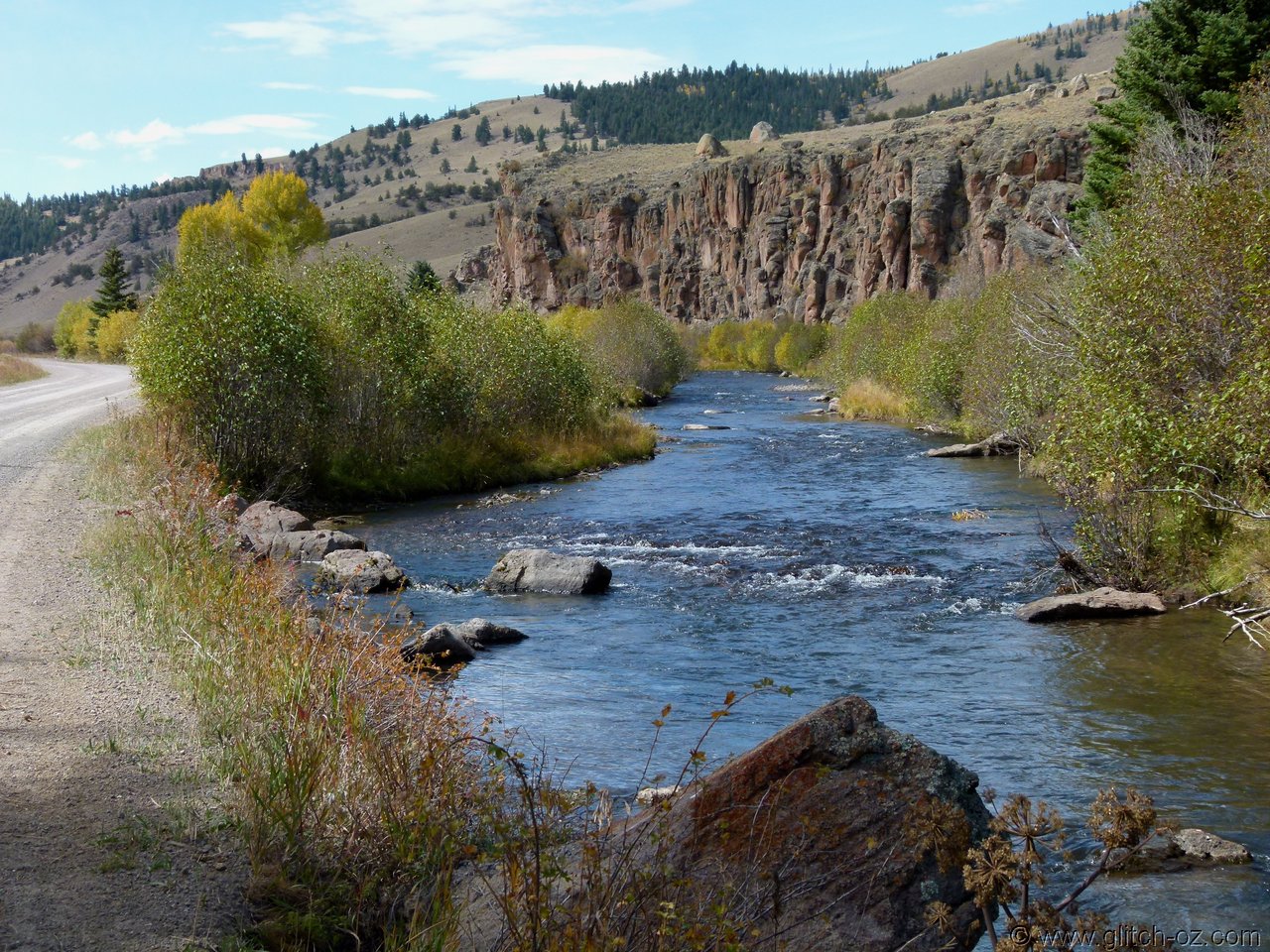
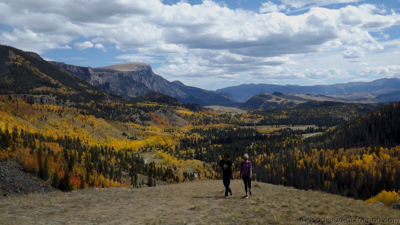
The Powderhorn Valley is a dead-set gem...60k's of smooth backroad-gravel in the most scenic way.
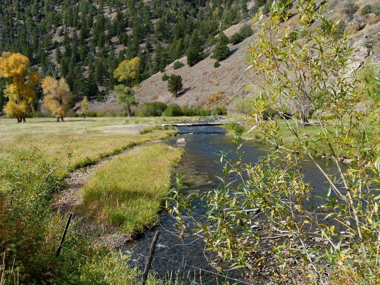
Cebolla Creek at the road-junction at Cathedral.
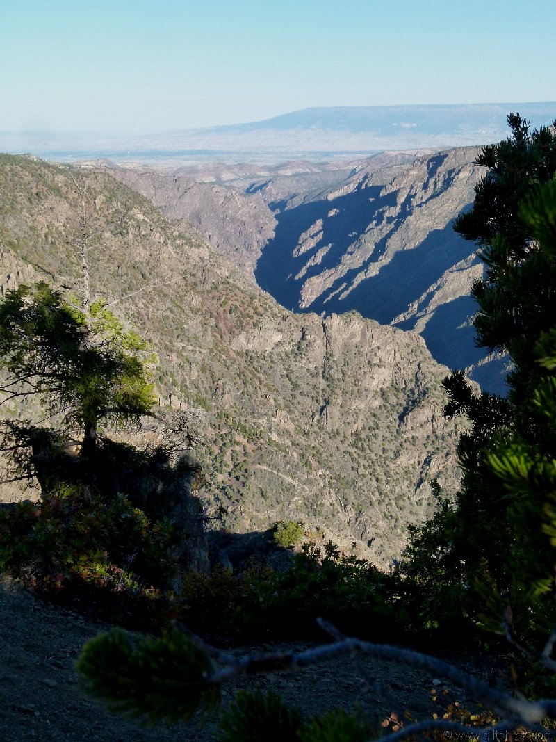
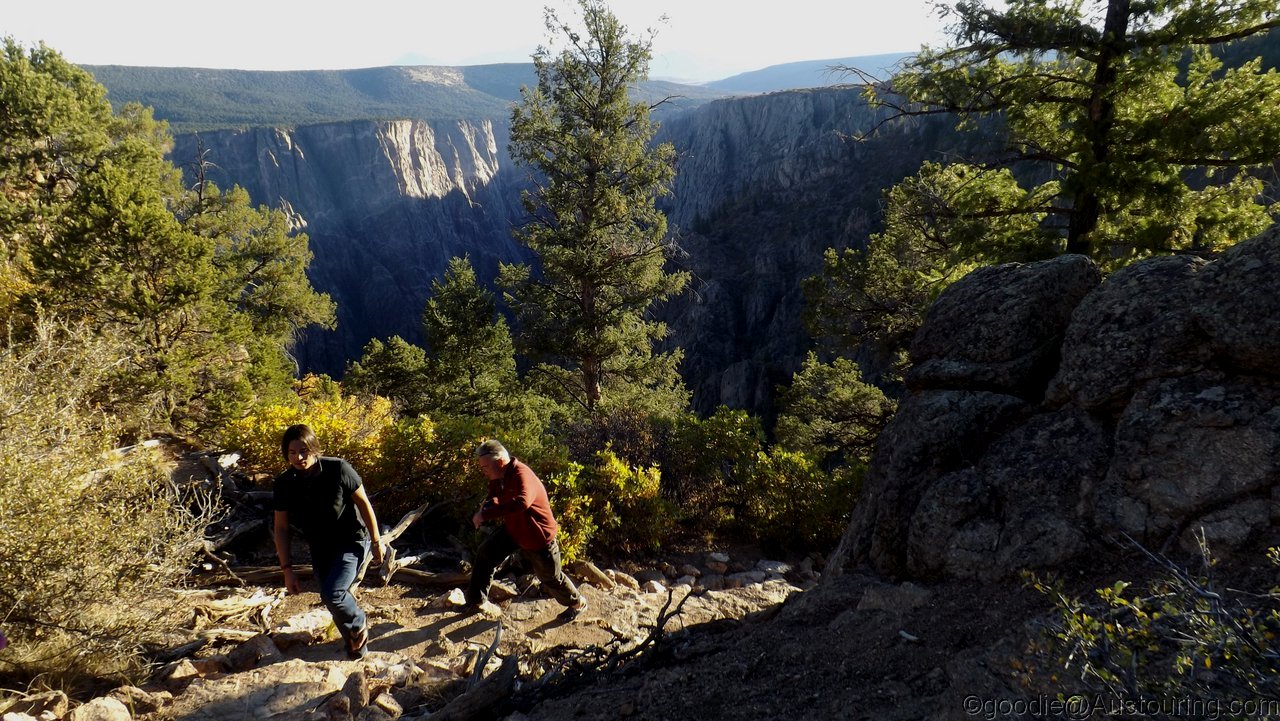
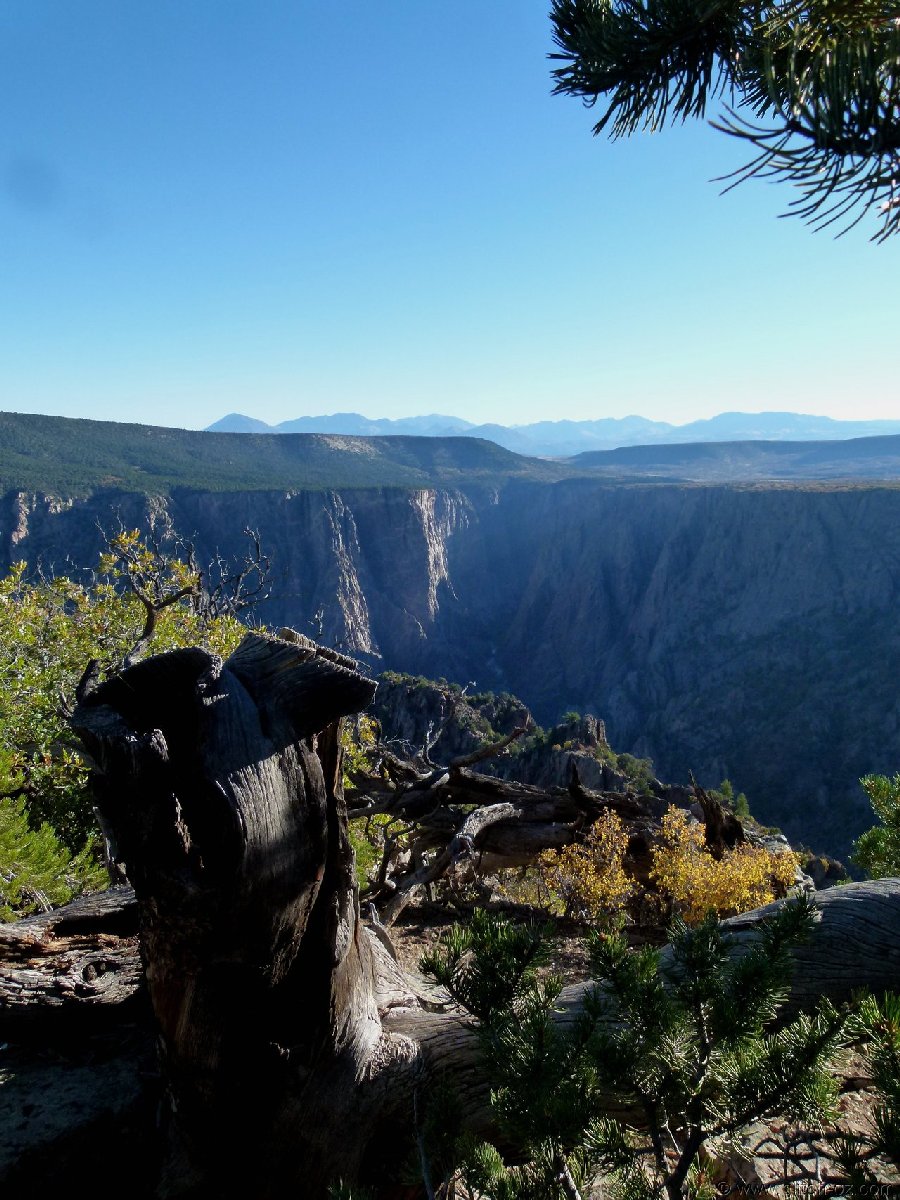
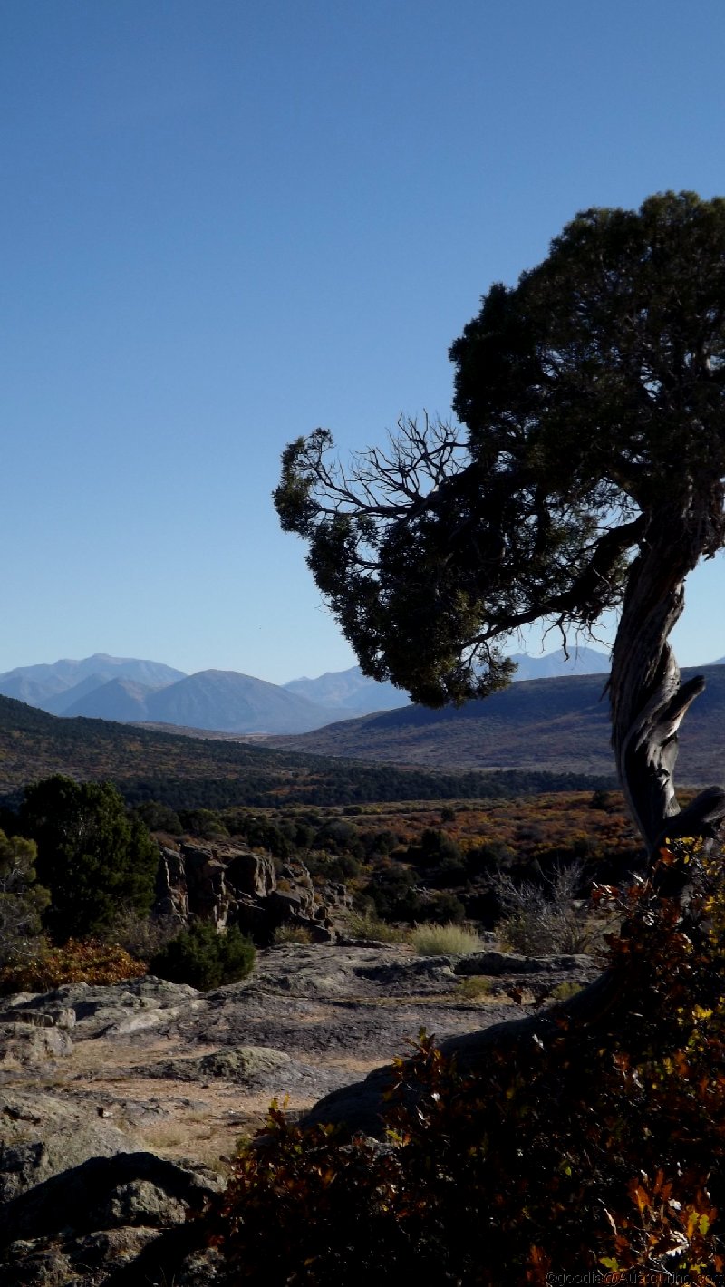
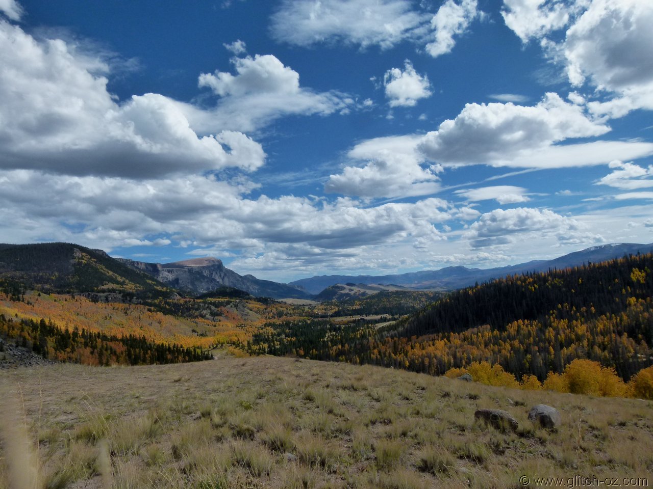
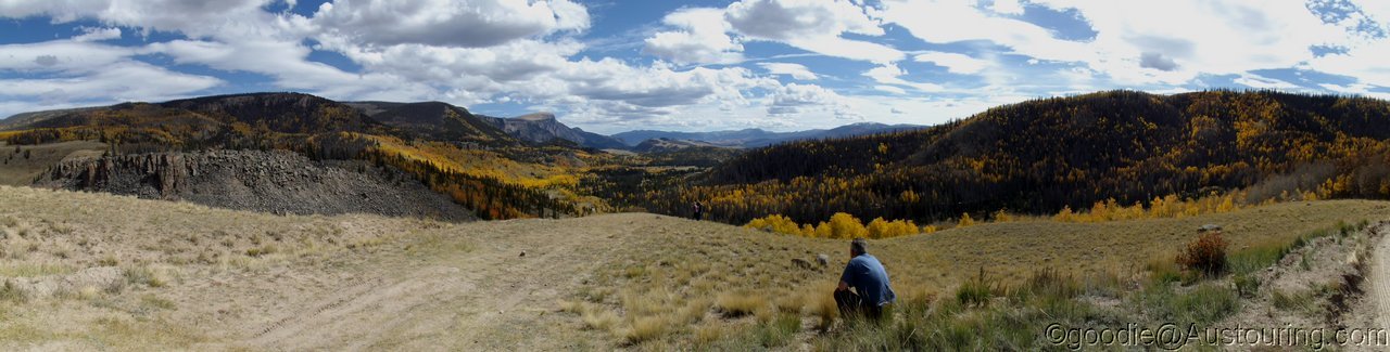
Back onto some sweeping asphalt at the crest of the Slumgullion Pass, and yet again, a million Dollar views!
There are also some other perks waiting!!
: https://goo.gl/maps/bDN2u9JDEm62
Rather than taking the highways, we picked a bunch of gravel "shortcuts" to get us to Powderhorn, the name suggesting another Aspen/ Breckenridge/ Snowmass or such.
It DID look a bit small on the map, though...
Plans from here were more gravel backroads up the Powderhorn Valley and a wide loop south-west onto the "Silver Thread Scenic Bypass" (aka Slumgullion Pass) just below its 11.500ft summit.
Why the hell there's a Post Office in Powderhorn, nobody will ever know...
...when the rest of the 50mile neighbourhood is rather a bit on the "sleepy" side.
The Powderhorn Valley is a dead-set gem...60k's of smooth backroad-gravel in the most scenic way.
Cebolla Creek at the road-junction at Cathedral.
Back onto some sweeping asphalt at the crest of the Slumgullion Pass, and yet again, a million Dollar views!

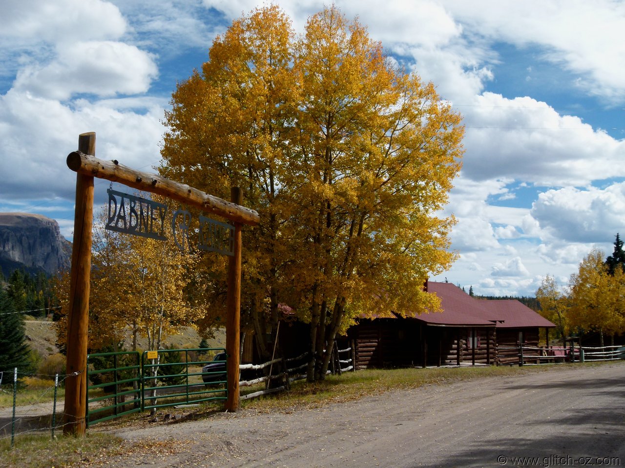
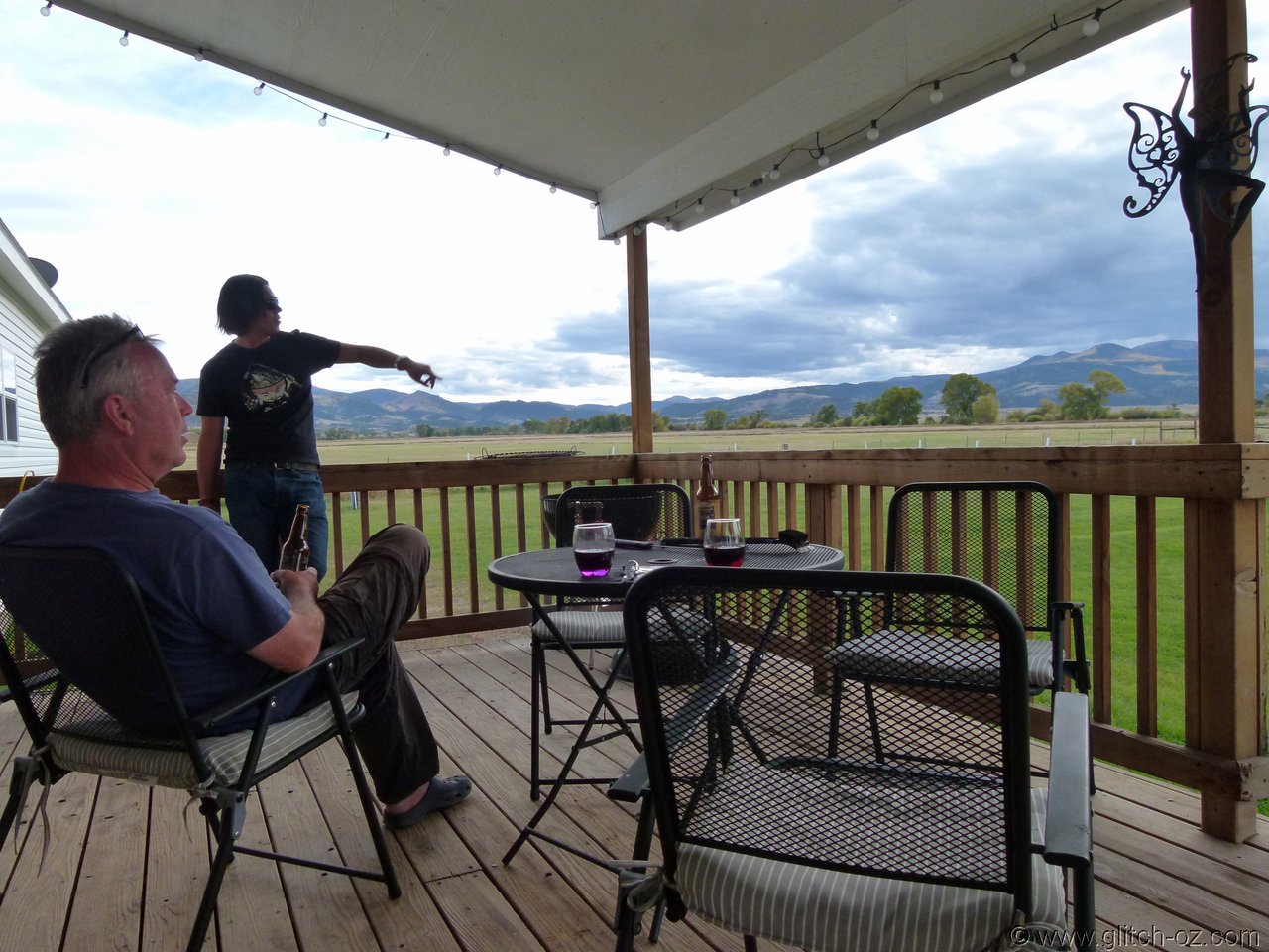
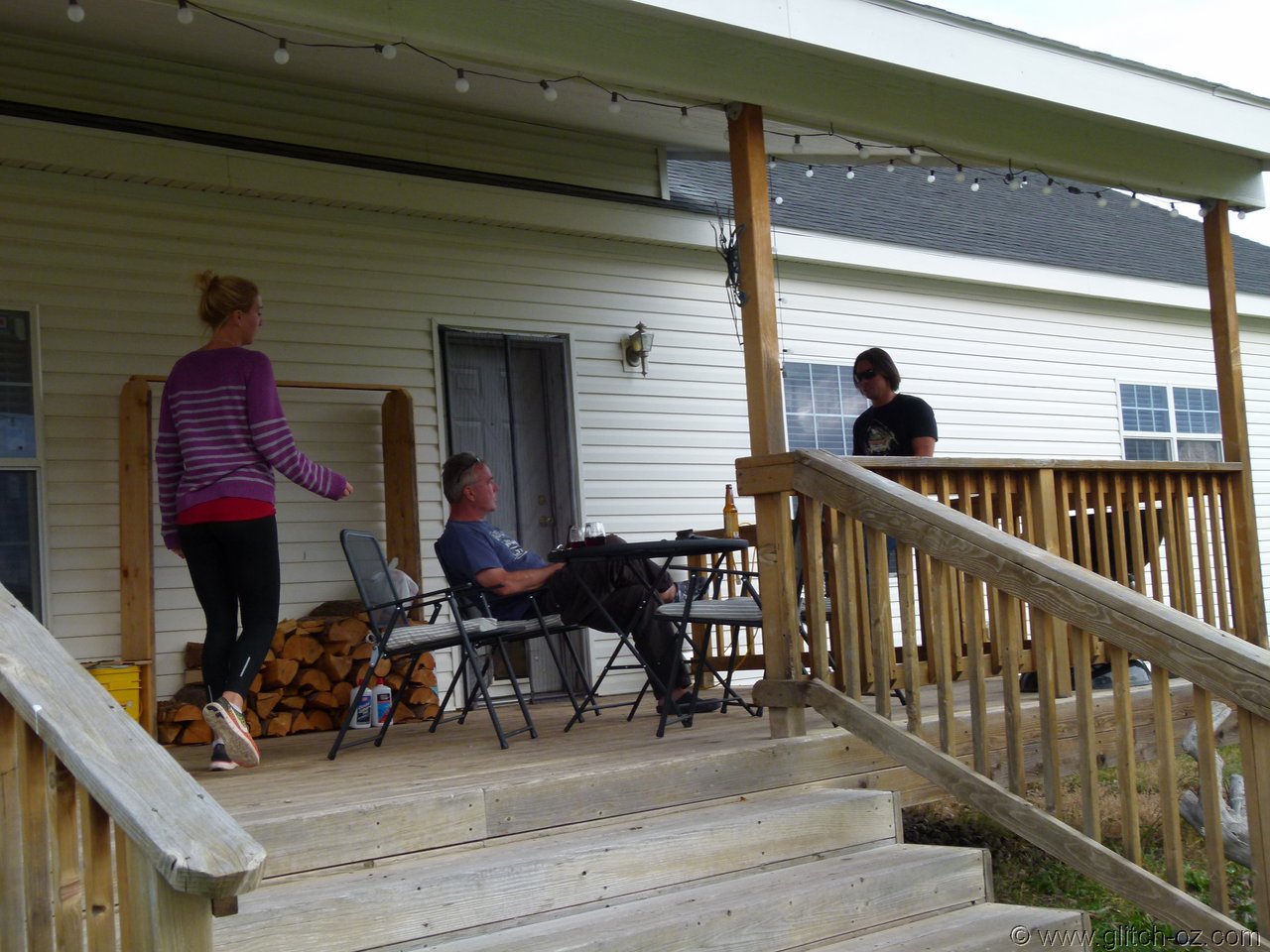
Three Barrel Brewing in Del Norte came good with some nice brews...
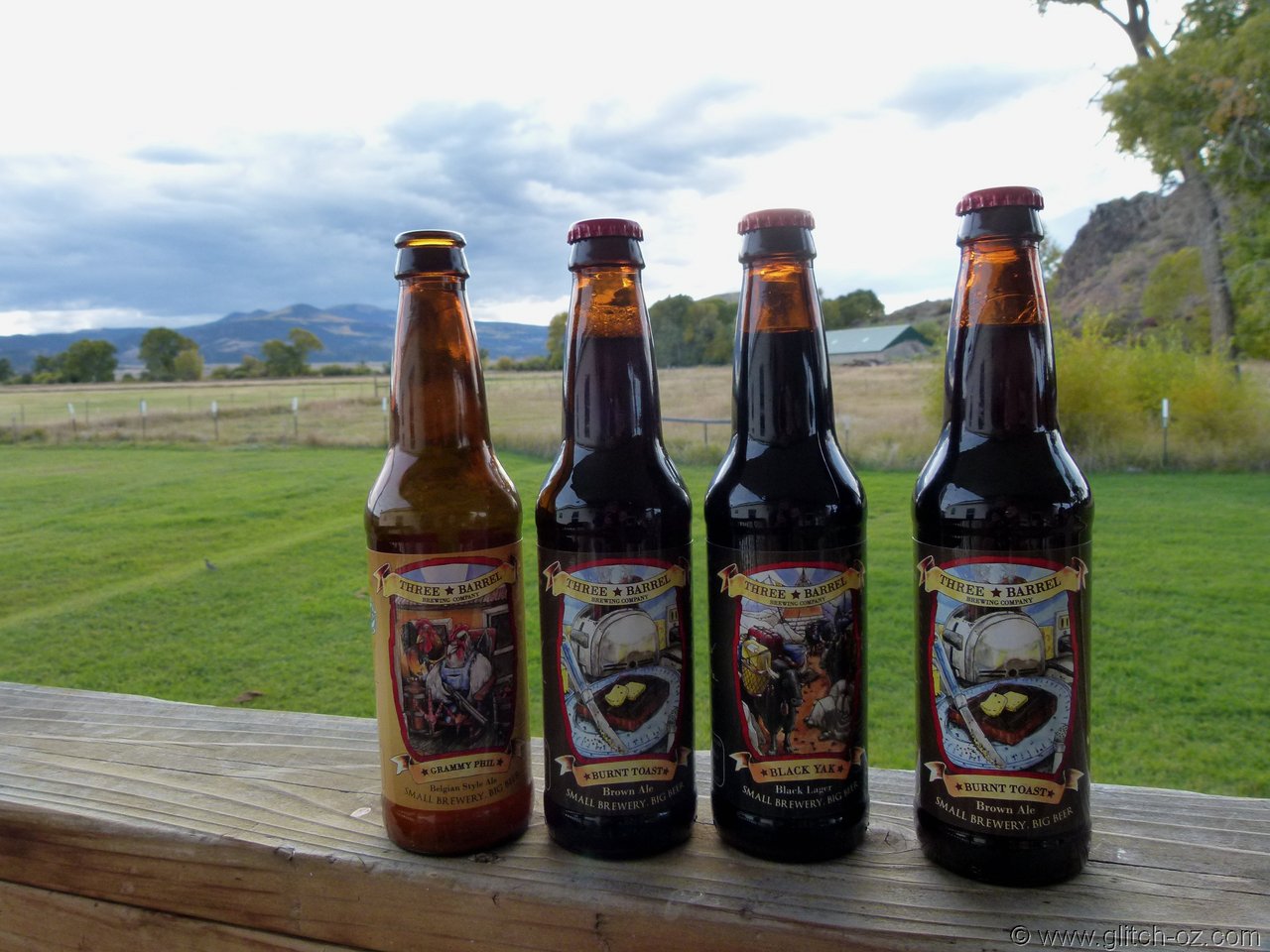
Air B+B was tested on the farmstay just out of town...
ElkUSA/Grande Premium added some excellent BBQ-stuff
(the elk/bison/deer/boar steaks were superb!...even at a mindboggling premium )
)
Air B+B was tested on the farmstay just out of town...
ElkUSA/Grande Premium added some excellent BBQ-stuff
(the elk/bison/deer/boar steaks were superb!...even at a mindboggling premium
ant
AngryAnt
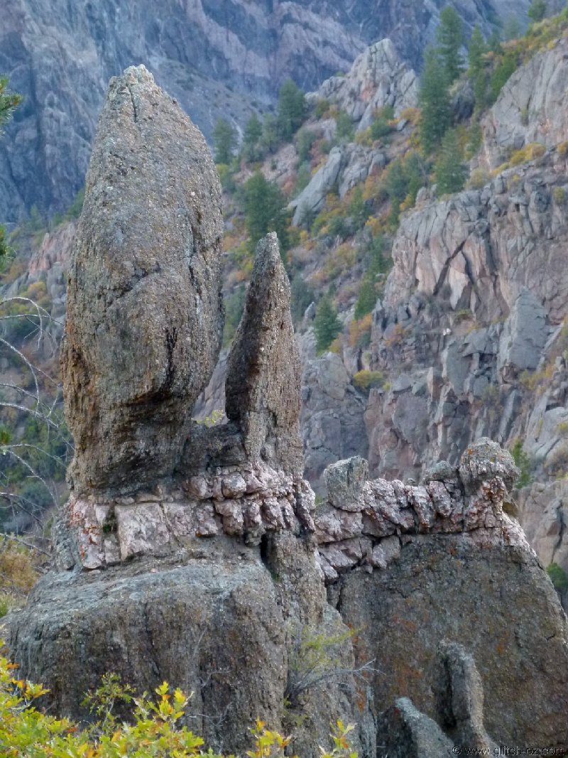
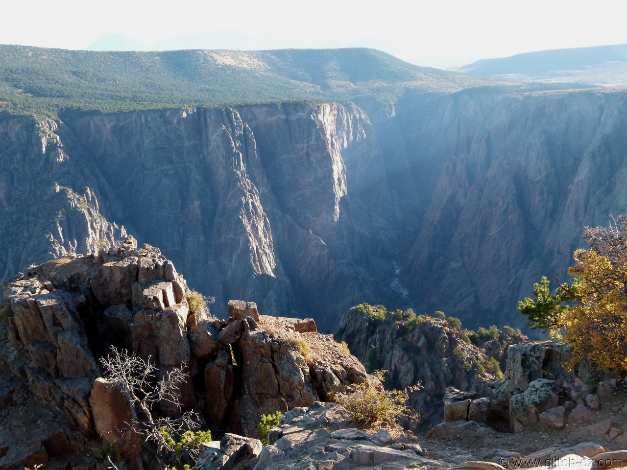
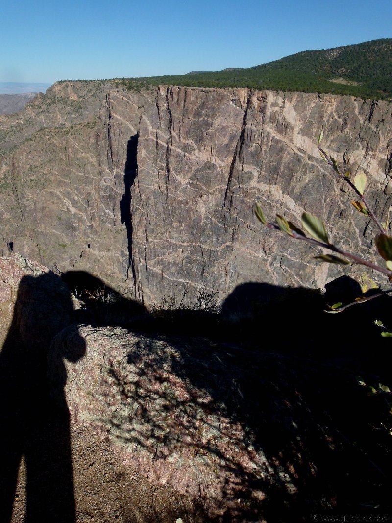
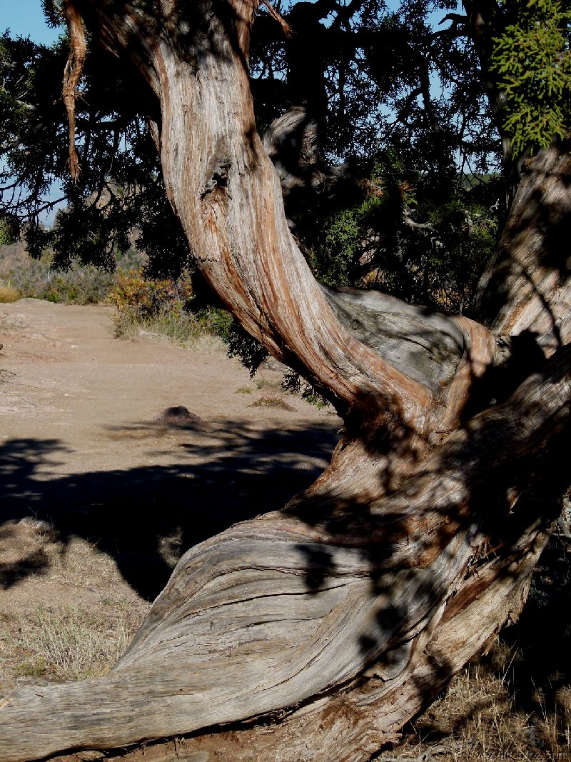
Love those streaks through the cliff rock... can some geologist explain that to me? Sedimentary?
John_Johnny
Long Timer
Jazzy says the stripes show the history of the rock. They are formed by sand deposits that are compressed.
And yes, sedimentary.
And yes, sedimentary.
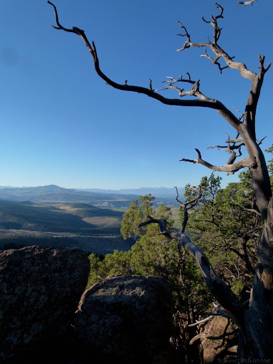
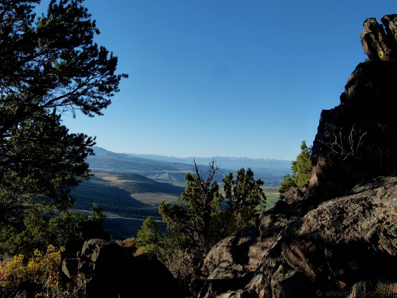
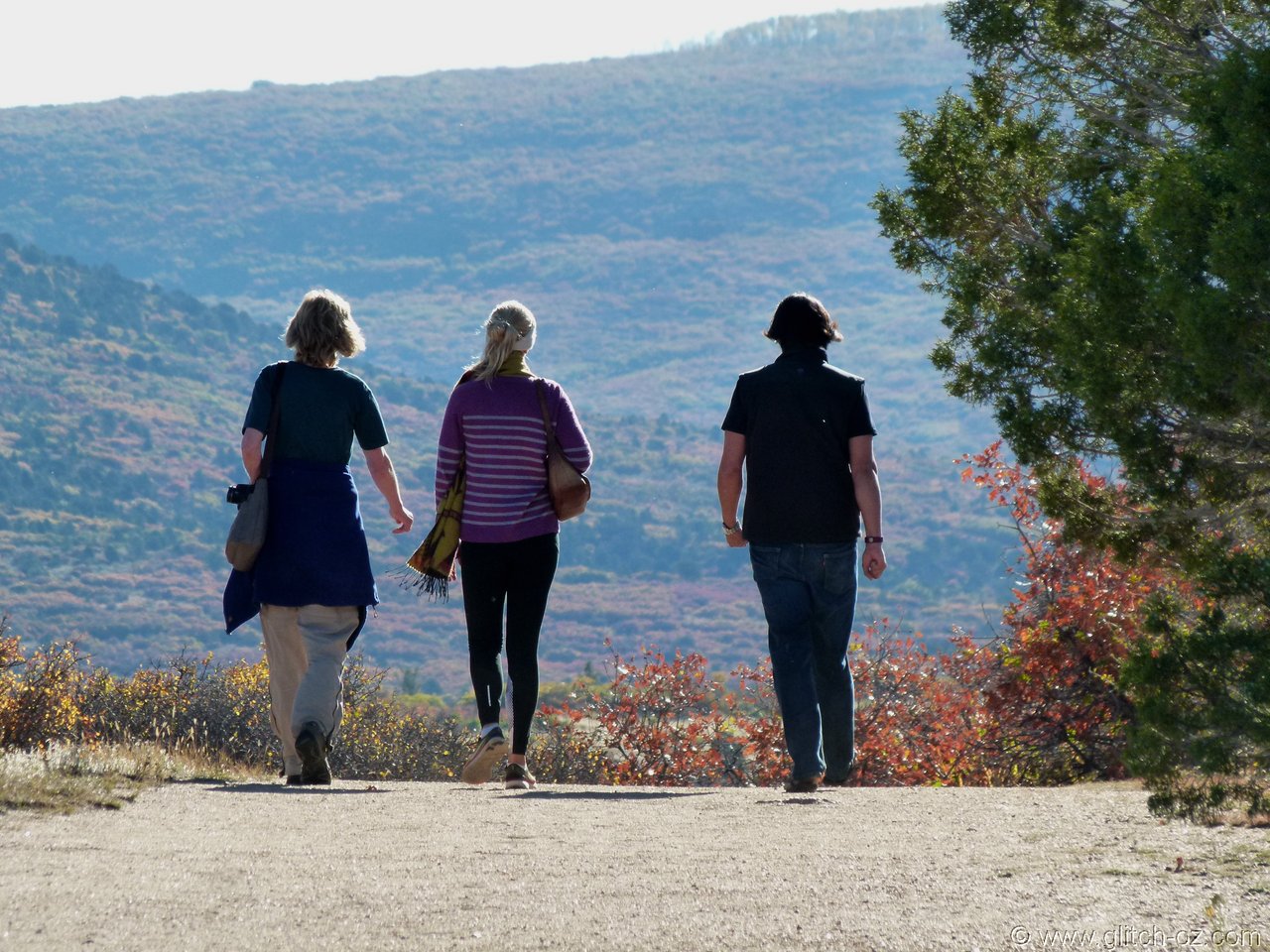
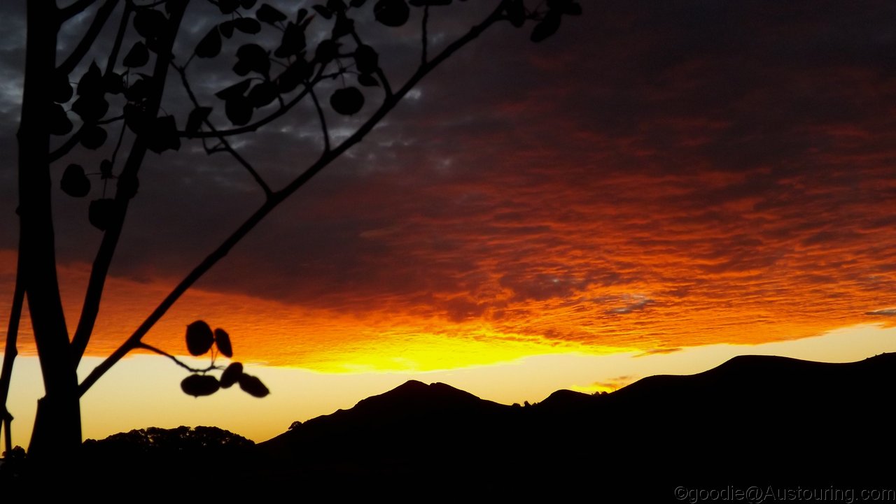
Another spectacular morning...to a spectacular day.
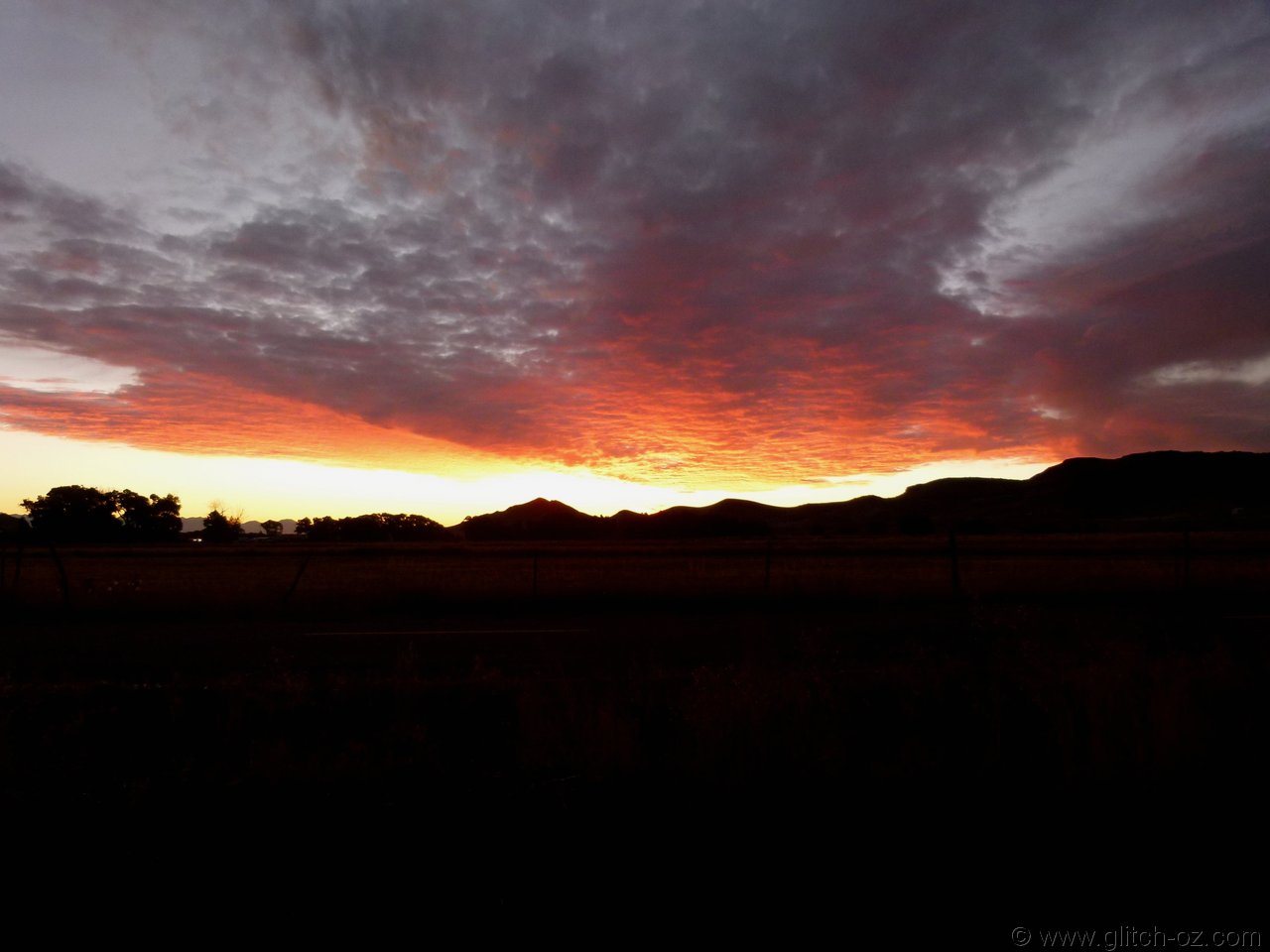
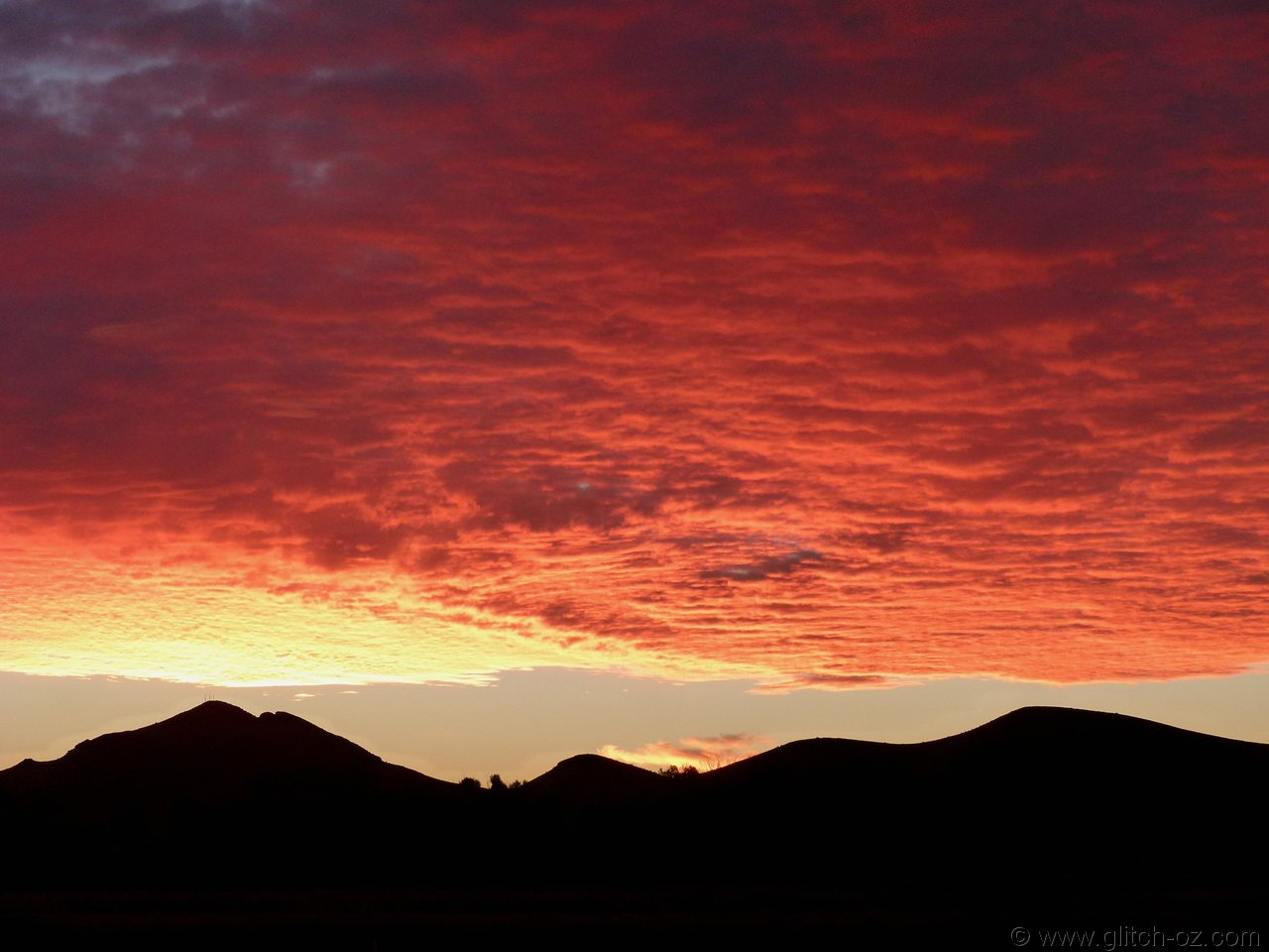
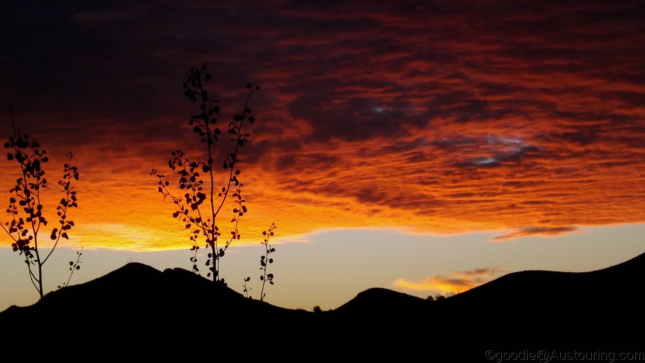
On the "home"-tack towards Denver.
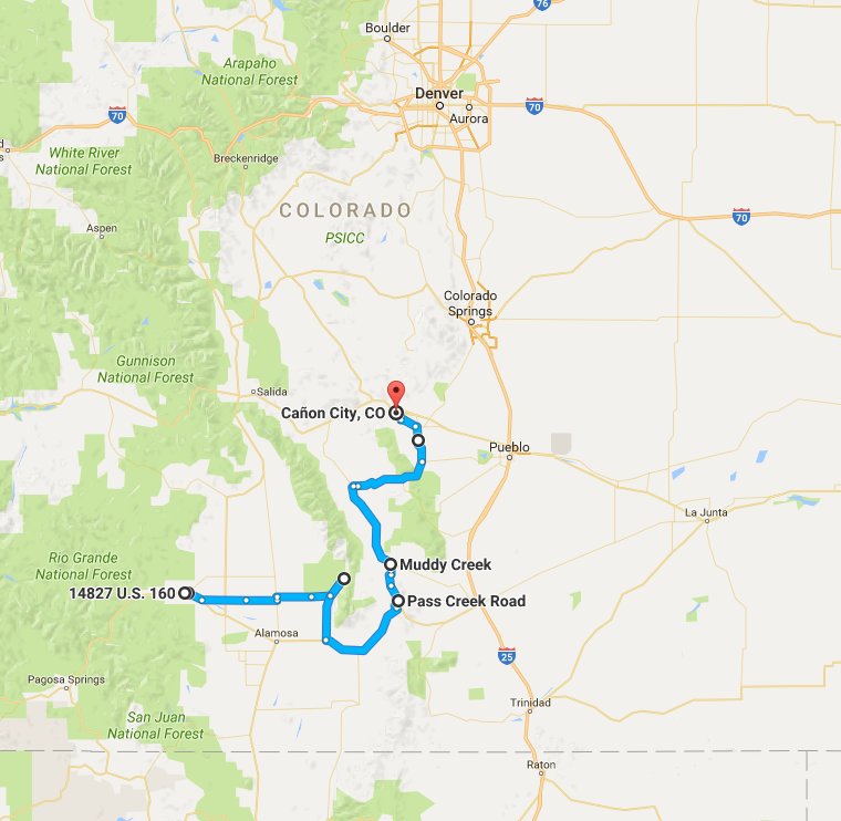
https://goo.gl/maps/Ke9gBhB6pjN2
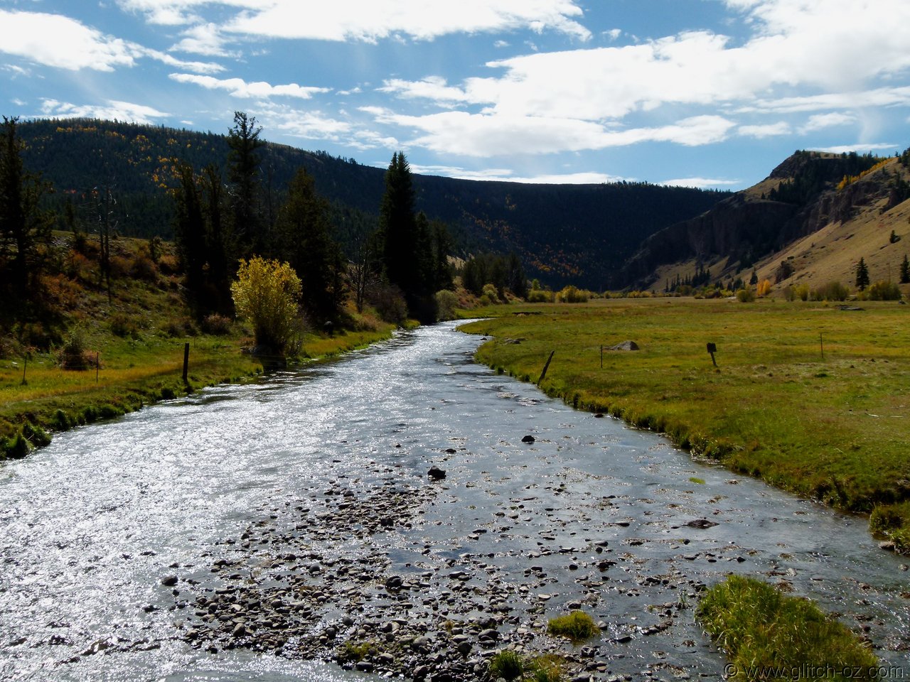
Dropping out of the mountains into the High Plains, we'd paralleled a small river for the last 50 or 60k's into Del Norte, the occasional bridge sprouting a mighty name :
RIO GRANDE
THE Rio Grande?
The Rio Grande of Big Bend National Park and that makes the border between the US and Mexico? WTF?
Nothing "grande" about that little band of water we saw, which was rather on the border of just being a creek.
Dismissed it as just another local thing and/ or the influence of the Spanish around here in centuries past.
Looking over the maps while killing time at San Fran Airport the next day showed that we'd cruised along the headwaters of THE Rio Grande.....and didn't even take a single pic
Back to Del Norte...and while the expansive High Plains are somewhat uninspiring , the mountain ranges at the eastern fringe harbour some more incredible stuff.
2000m above sea level and at the foot of an Alpine mountain range there are SANDDUNES!! Yeah, sure...
Not a handful of sand hills...no!!...300 square kilometers of proper Sand Dunes!
Great Sand Dunes National Park
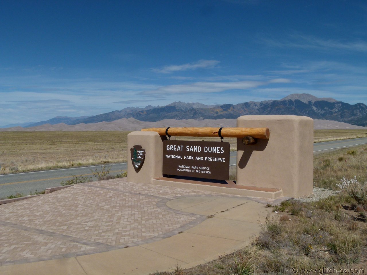
A quick 'n dirty pinch from Google:

On the "home"-tack towards Denver.
https://goo.gl/maps/Ke9gBhB6pjN2
Dropping out of the mountains into the High Plains, we'd paralleled a small river for the last 50 or 60k's into Del Norte, the occasional bridge sprouting a mighty name :
RIO GRANDE
THE Rio Grande?
The Rio Grande of Big Bend National Park and that makes the border between the US and Mexico? WTF?
Nothing "grande" about that little band of water we saw, which was rather on the border of just being a creek.
Dismissed it as just another local thing and/ or the influence of the Spanish around here in centuries past.
Looking over the maps while killing time at San Fran Airport the next day showed that we'd cruised along the headwaters of THE Rio Grande.....and didn't even take a single pic
Back to Del Norte...and while the expansive High Plains are somewhat uninspiring , the mountain ranges at the eastern fringe harbour some more incredible stuff.
2000m above sea level and at the foot of an Alpine mountain range there are SANDDUNES!! Yeah, sure...
Not a handful of sand hills...no!!...300 square kilometers of proper Sand Dunes!
Great Sand Dunes National Park
A quick 'n dirty pinch from Google:
John_Johnny
Long Timer
I should have googled it but it's easier to ask Jazz. I shall show her the error of her ways when she gets home from school.
That farm stay place has nice green lawns but most of the countryside looks dry.
End of a long hot summer?